Our journey took us from Boulia via the Donaghue and Plenty Highways west to the Northern Territory........ where narrow bitumen, corrugated gravel and sections of deep sand and bulldust were the norm, not to mention the flys.
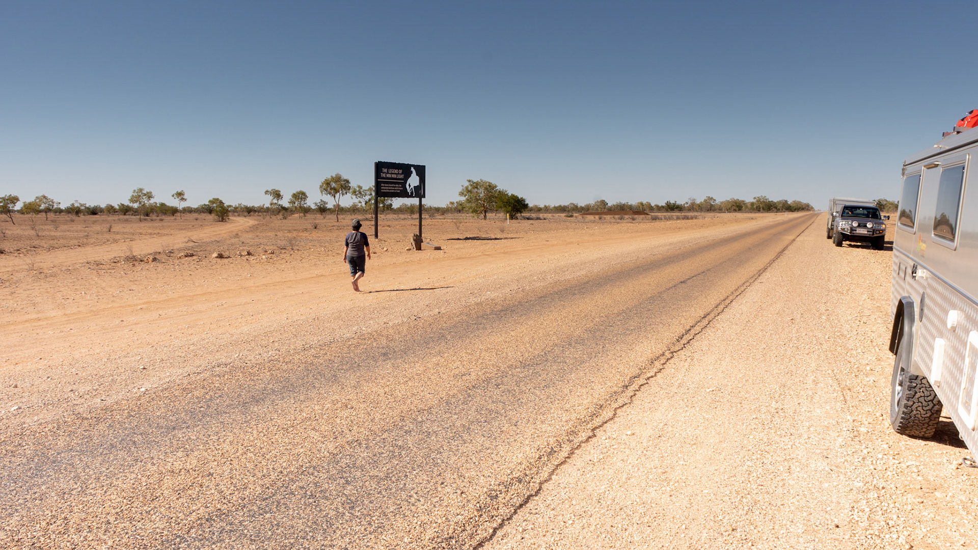
Travelling west from Boulia the story of Min-Min Lights unfold
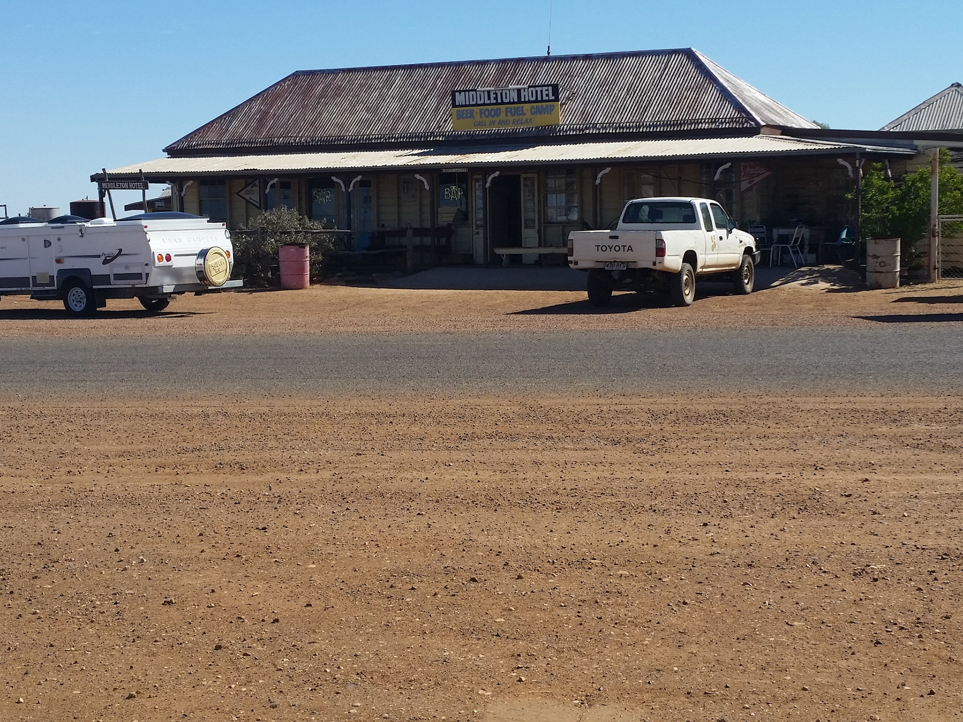
Middelton Pub.........a survivor from pioneering times
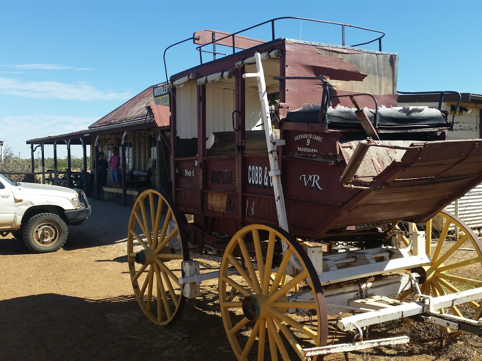
A Cobb & Co coach reminds us of the hardships of travel faced by the poineers

Photo opportunity at the Qld/NT border
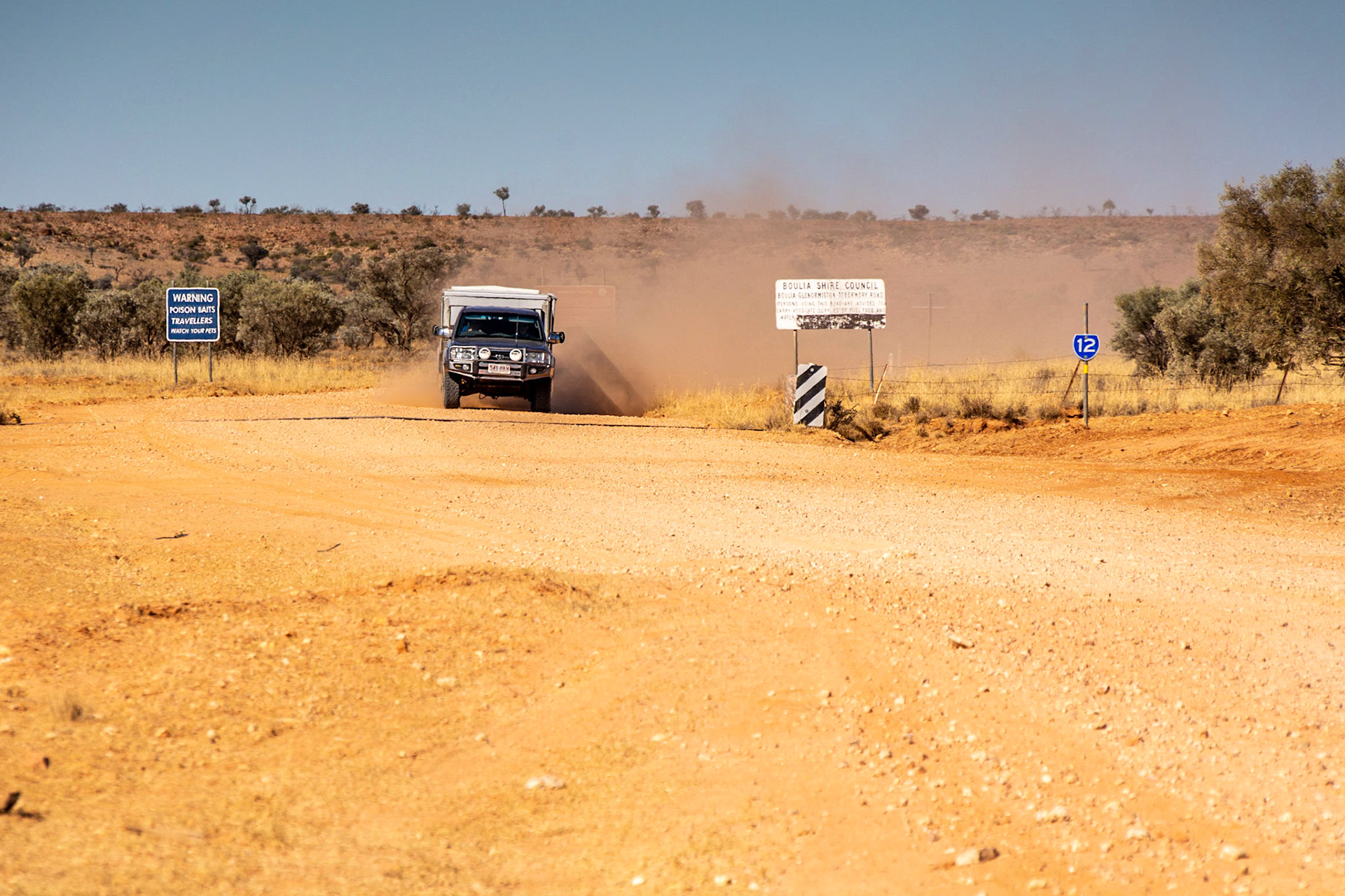
Lorraine & Don Arrive in a cloud of dust
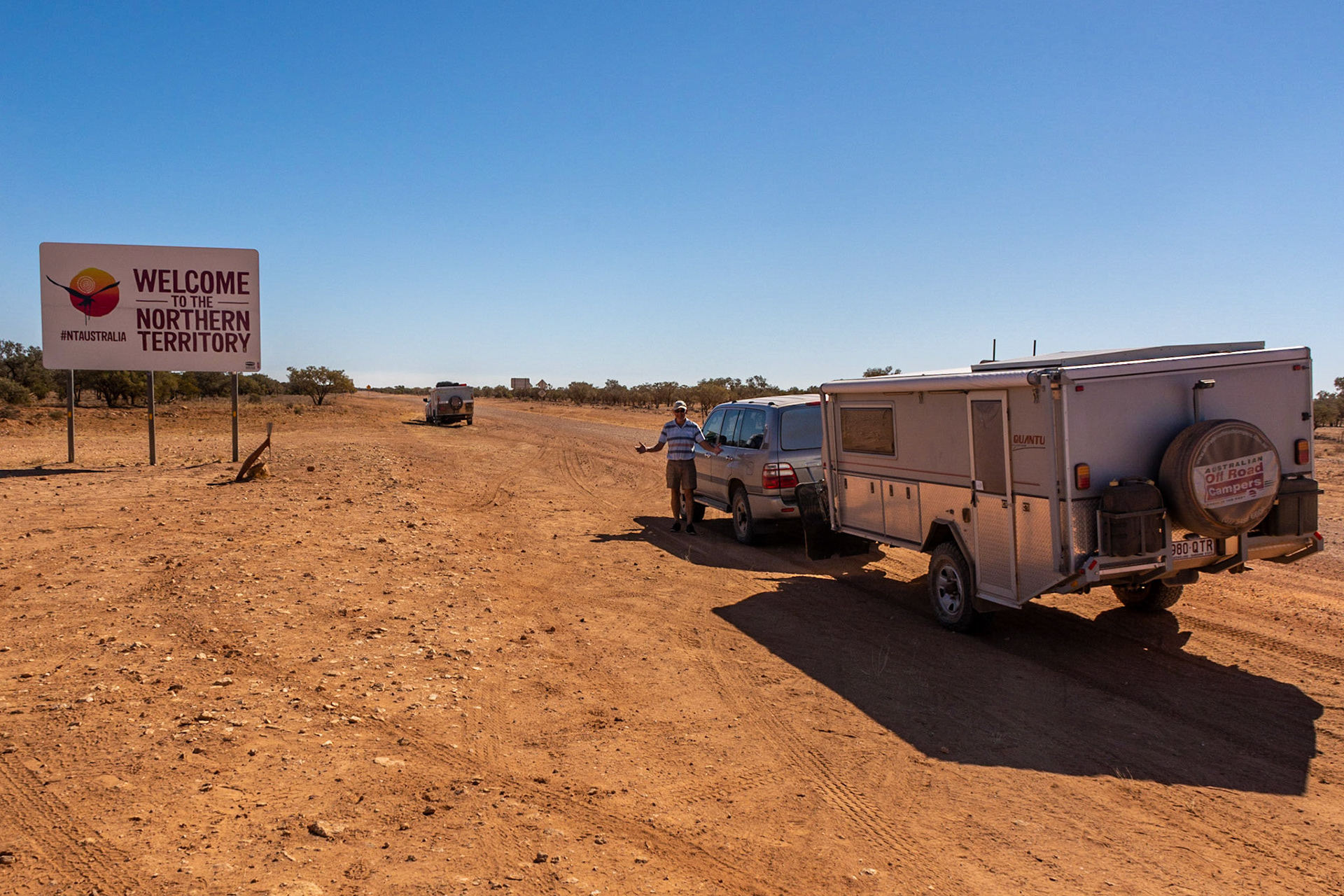
Don........"We made it"
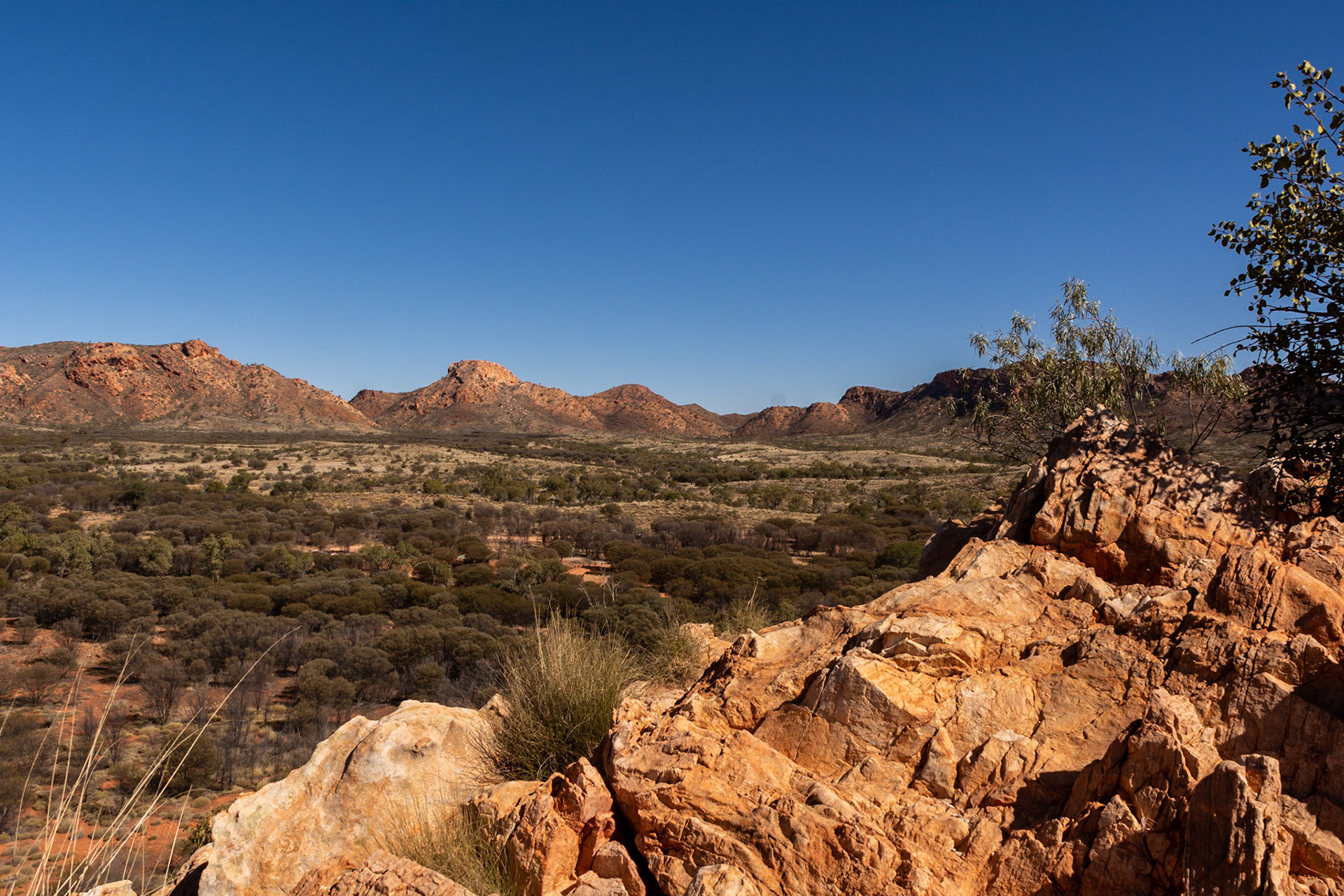
Alice Springs to Hermannsburg......Red Centre Way
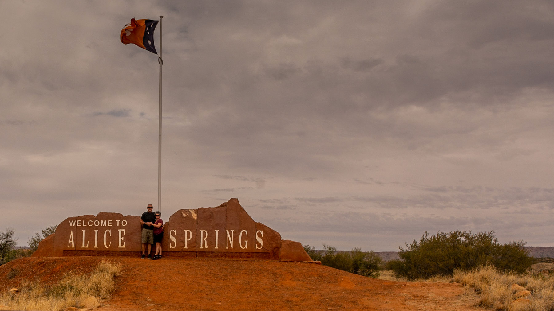
Grey sky greets us at Alice

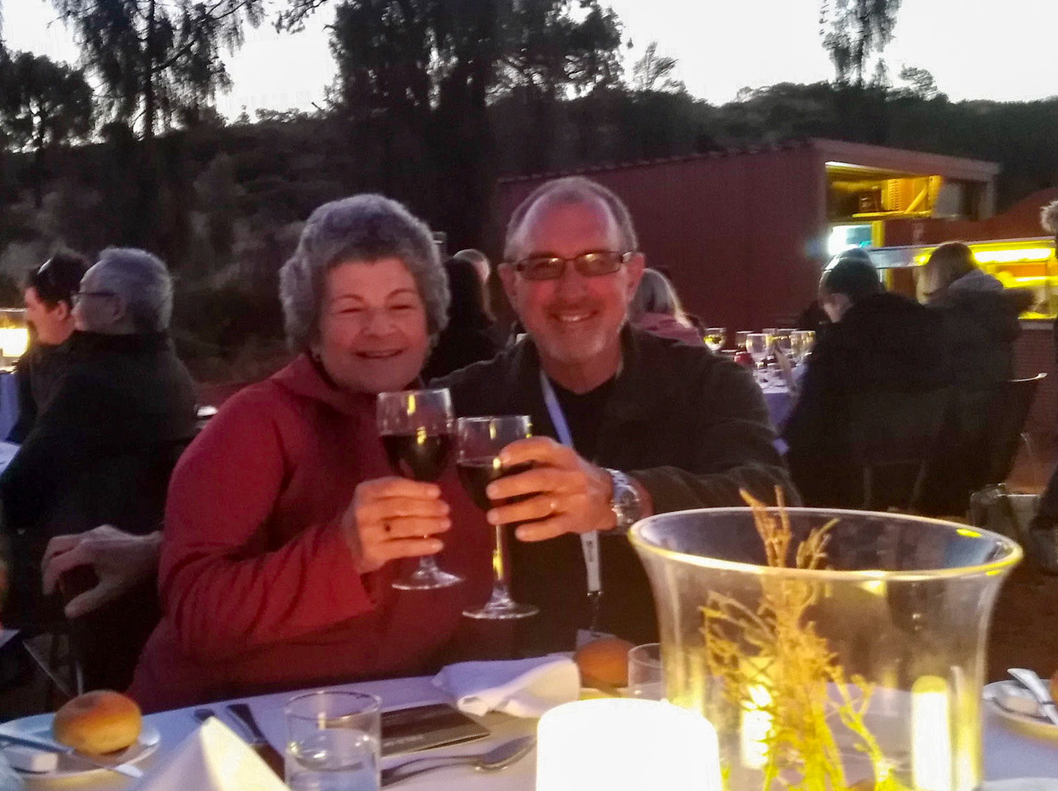
Don & Lorraine........celebrating another anniversary
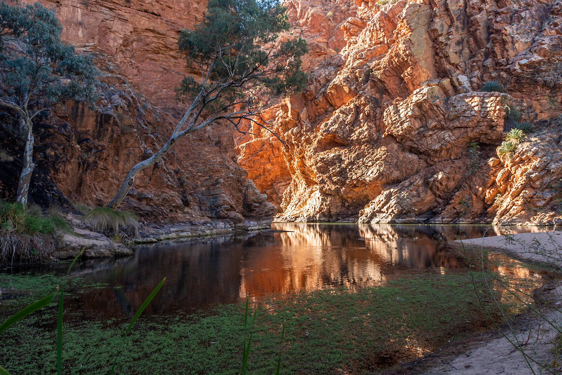
Ellery Creek Big Hole.....reputedly always has water in it
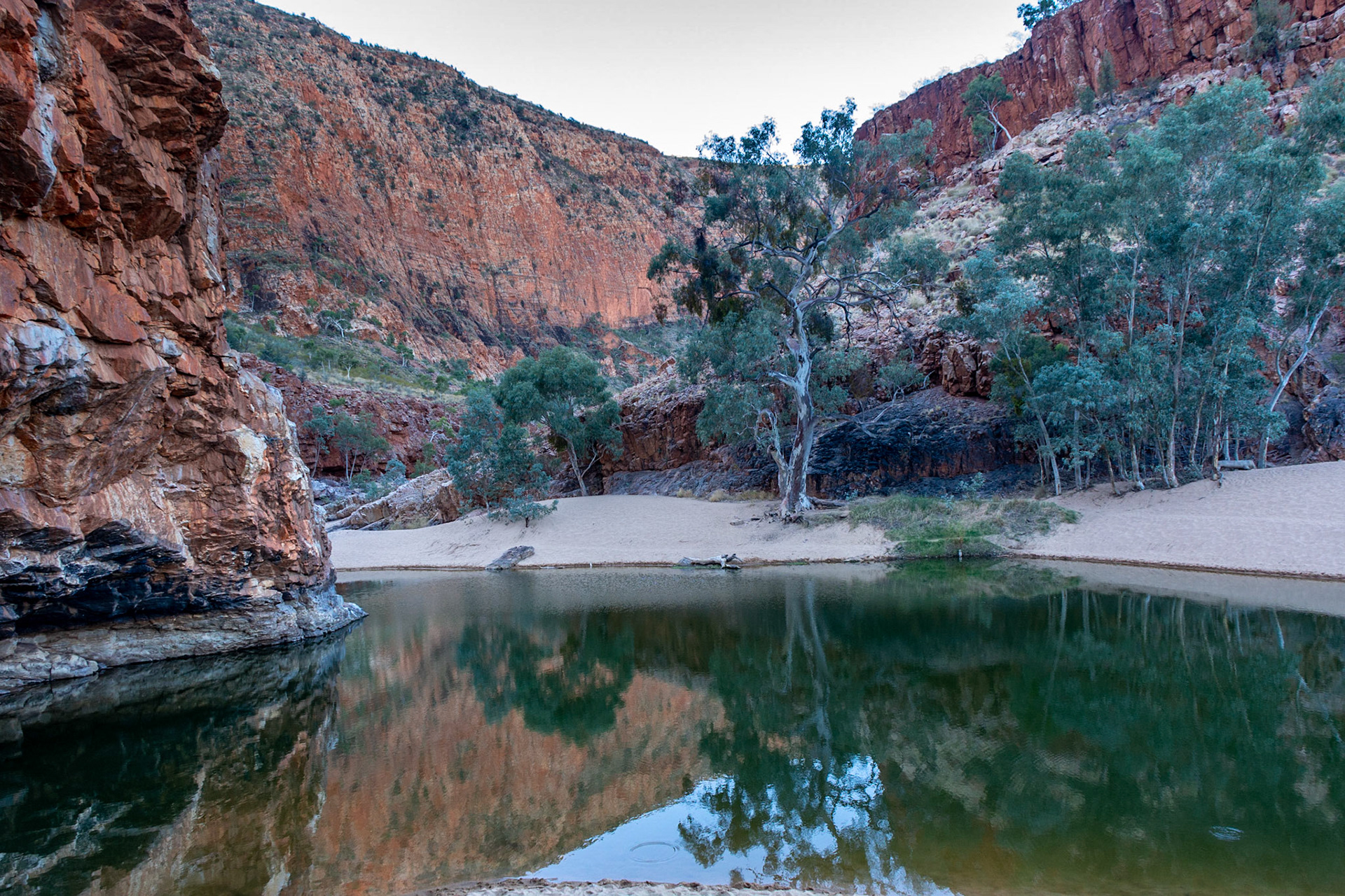
Ormiston Gorge ..........a great spot for an overnight camp
Ormiston Groge .......reflections
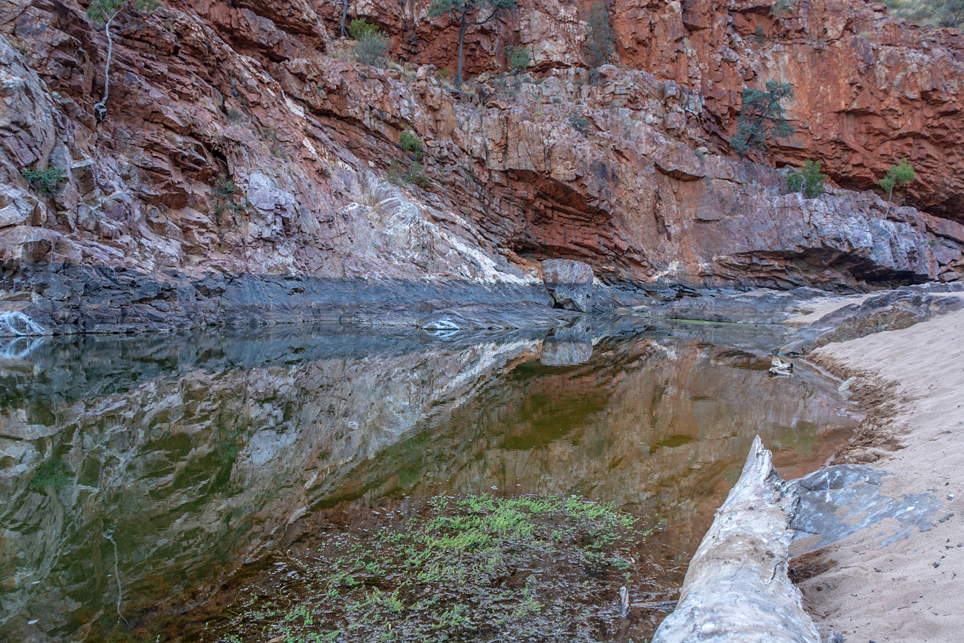
Ormiston Gorge.........looking down the gorge from the lookout

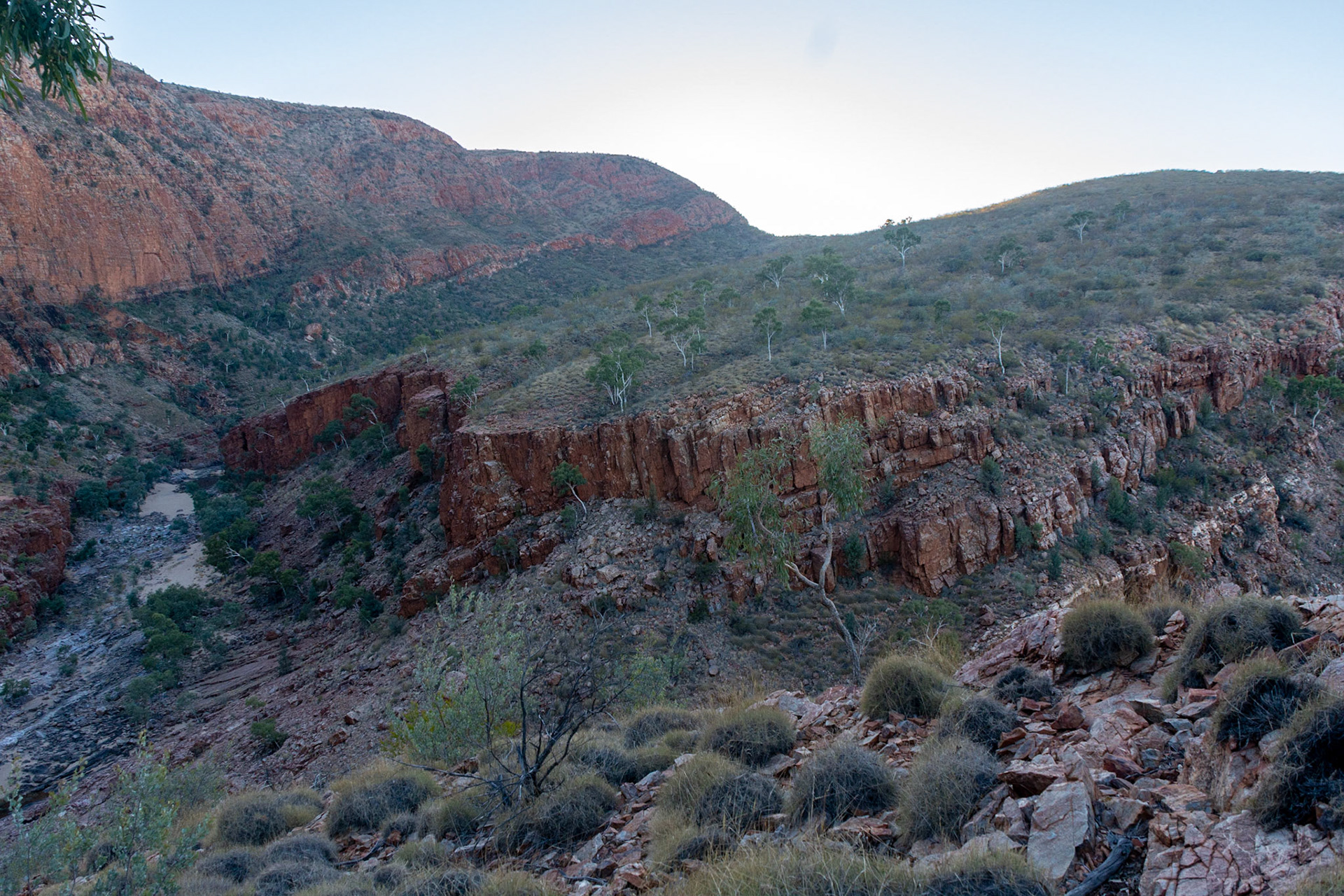
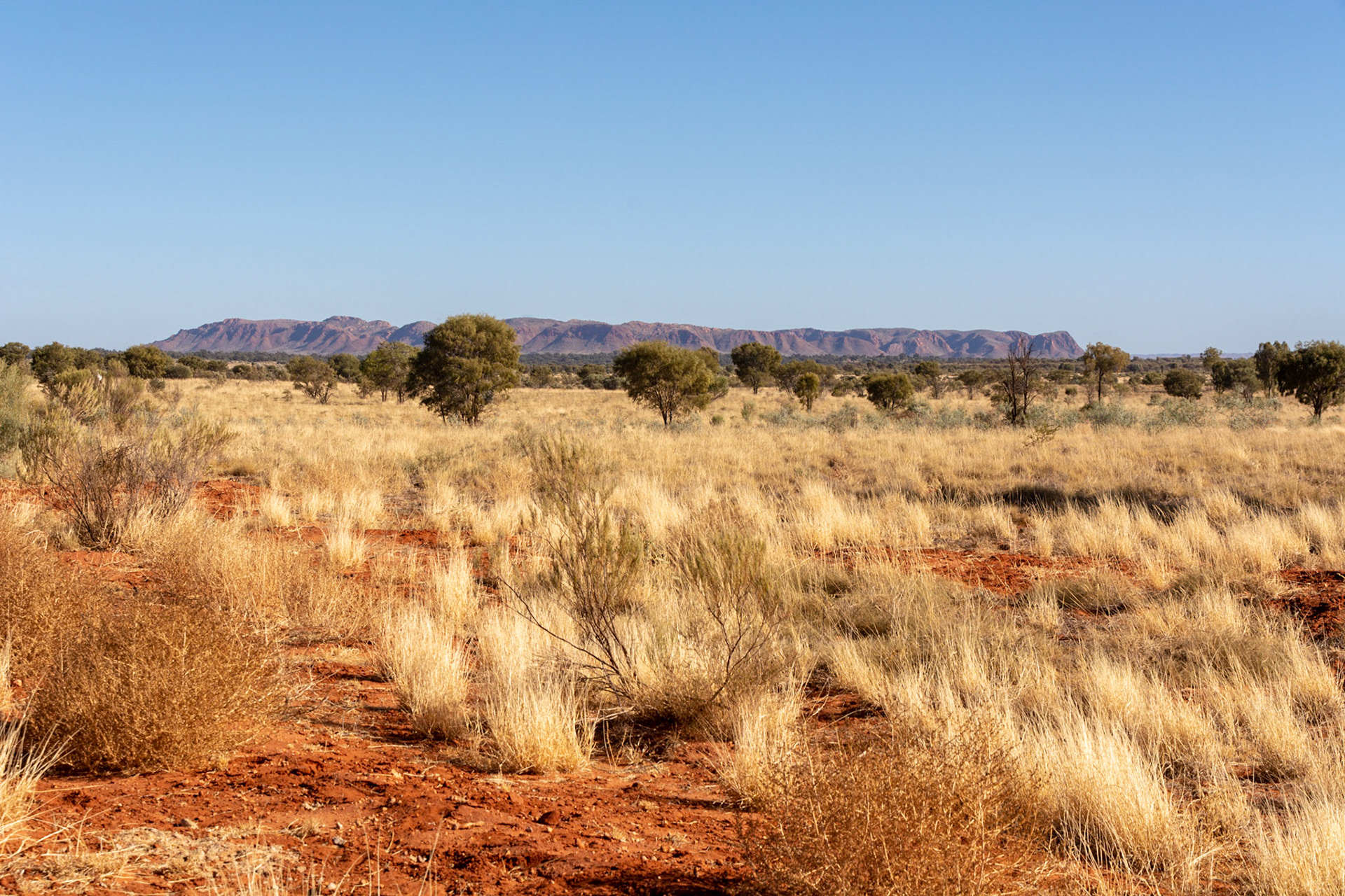
Red Centre Way ...........West MacDonnell Ranges in the background frame a nearby reef of exposed rock
Tnorala (Gosse Bluff) .... an impact crater as seen from the road west of Hermannsburg
From inside Gosse Bluff .........the base is some 5km across so it is hard to capture the scale of the circular crater

Gosse Bluff...looking back over the access track into the crater
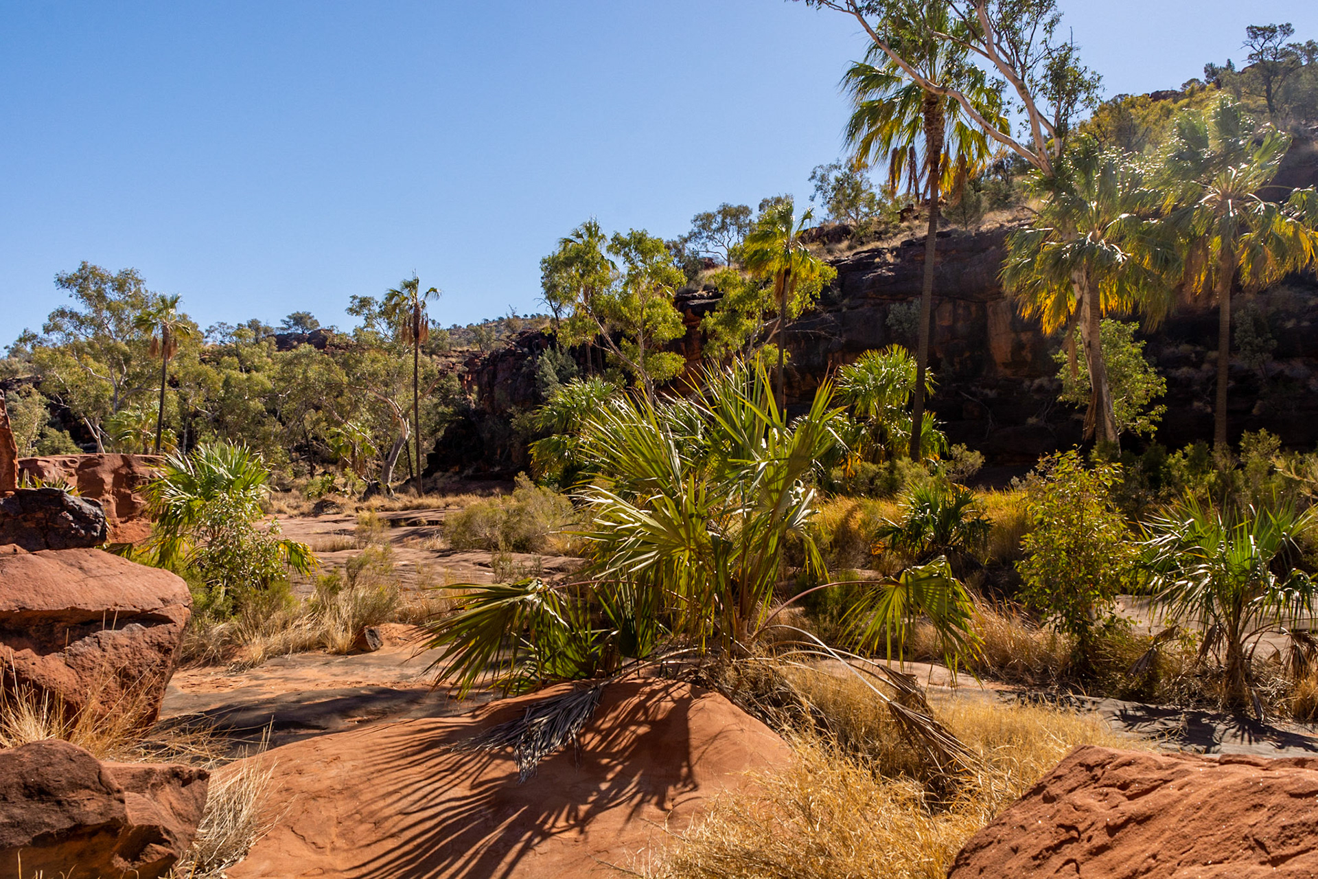
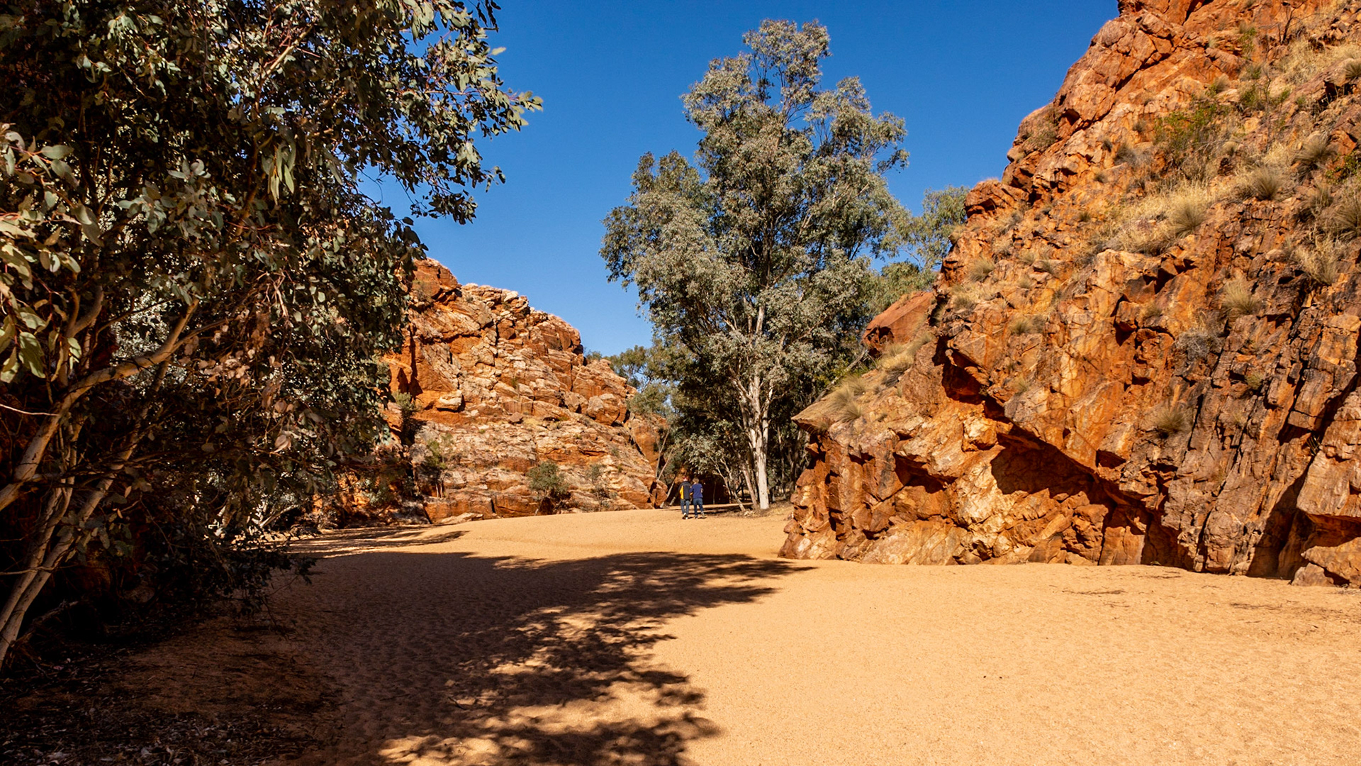
Finke River NP........Palm Valley
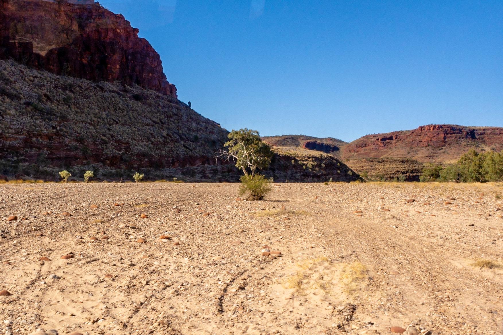
Crossing the dry bed of the Finke River as we make our way to Palm Valley
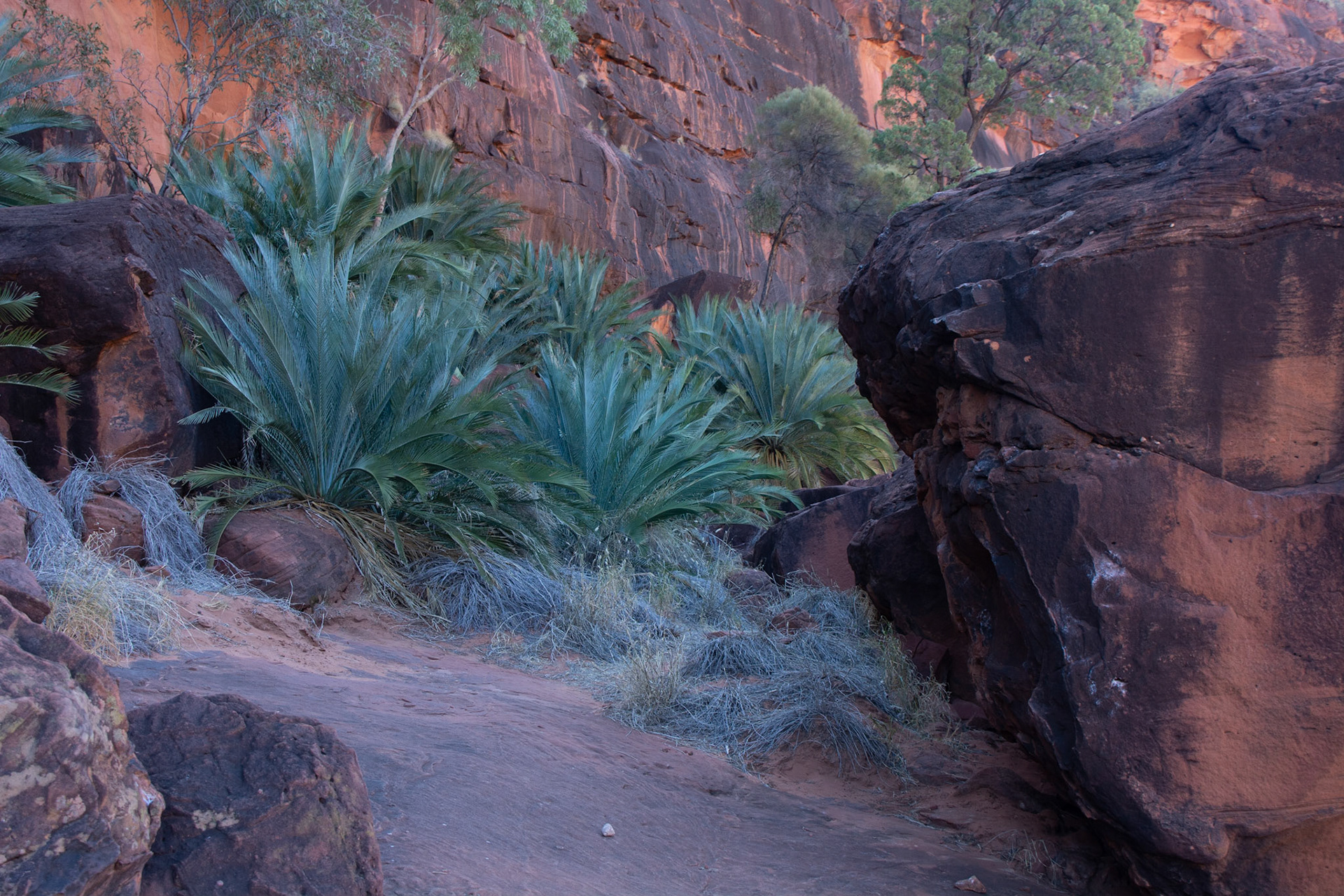
The MacDonnell Ranges Cycad grows only in the central Australian ranges (although there are other varieties elsewhere)
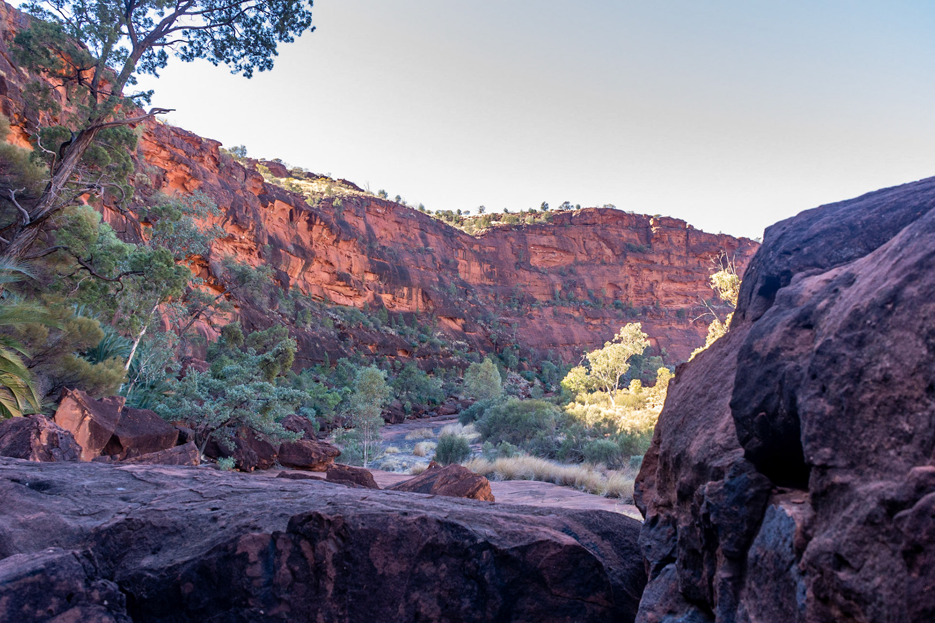
The exposed rock creek bed of Palm Valley
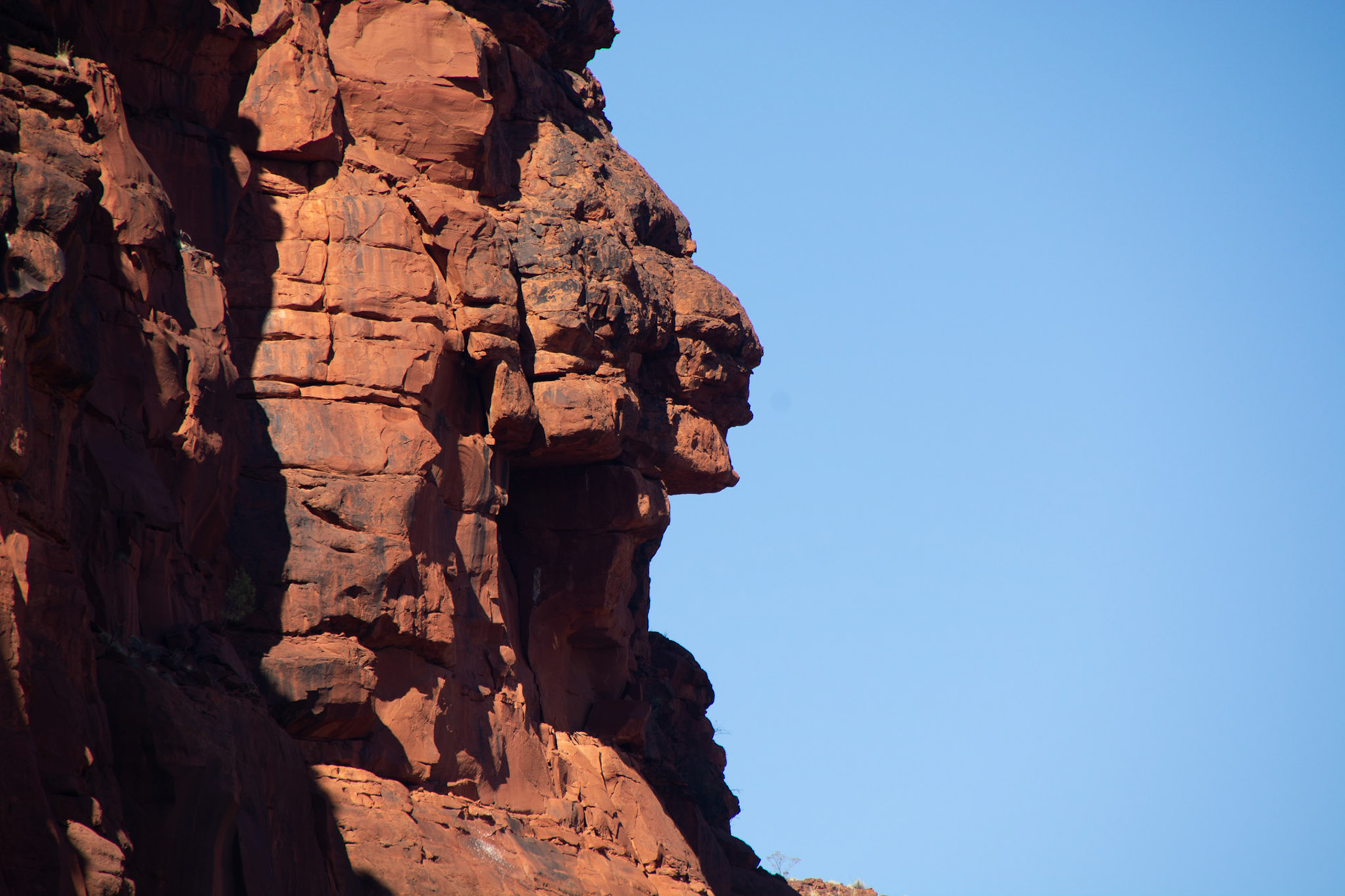
Rock form silhouette in the form of an aboriginal worrier's head......
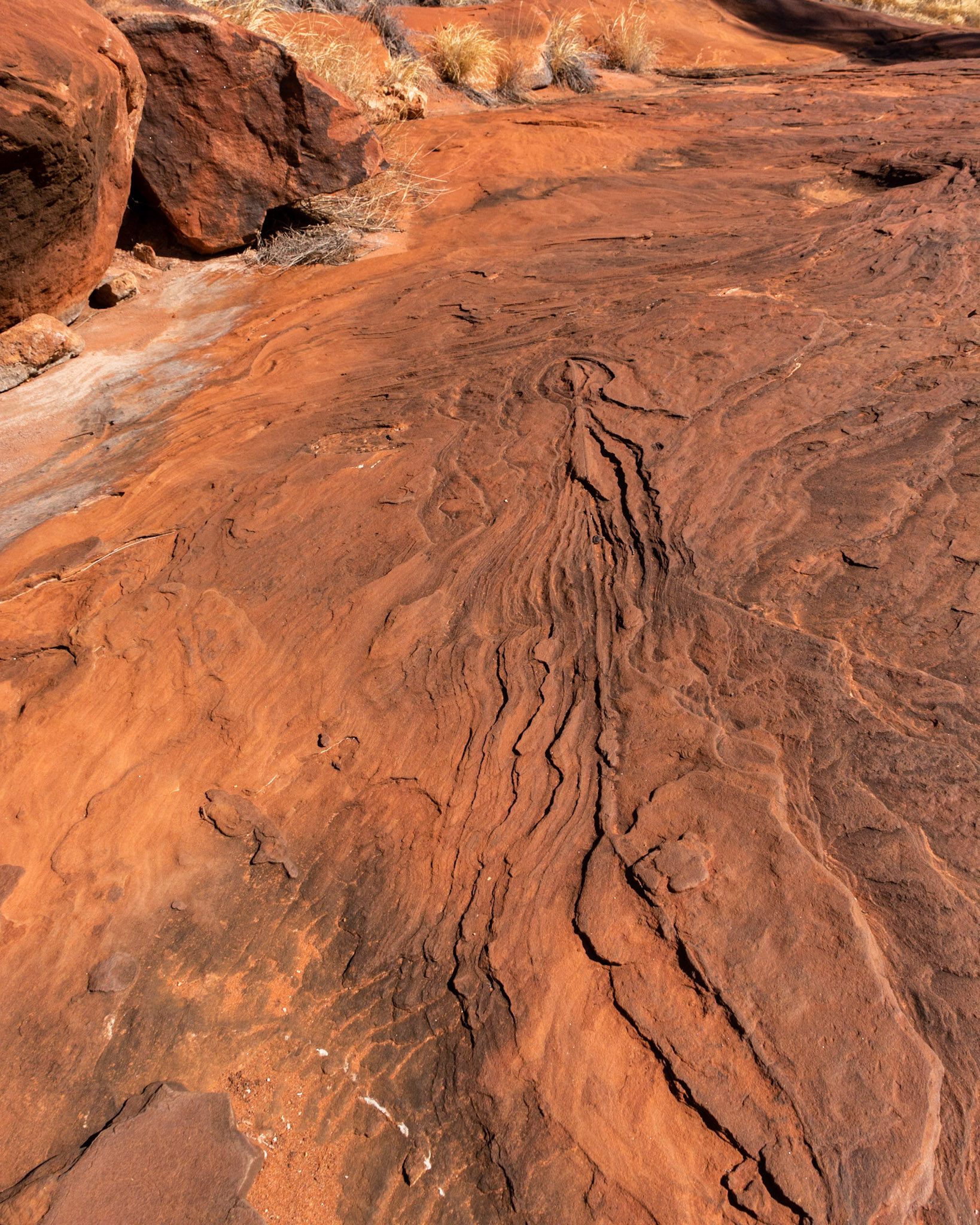
Layered patterns in the exposed bedrock
Palm Valley is home to the rare Central Australia Red Cabbage Tree
"Battleship" Ridge is an imposing sight against the clear sky - view from Kalarranga Lookout

Looking upstream into Palm Valley Gorge from the surrounding plateau
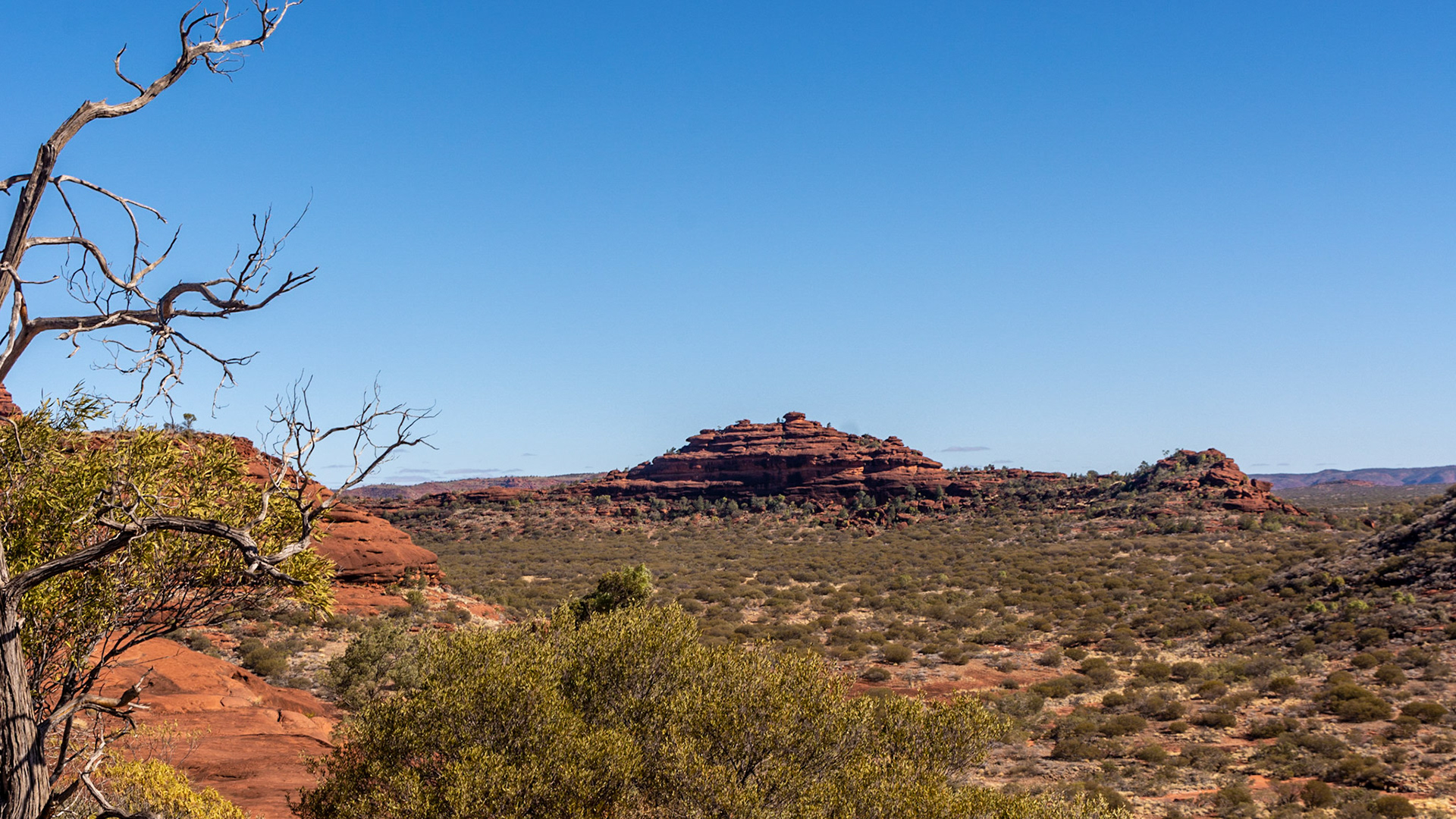
After Hermannsburg we travelled via the Mereenie Loop Road to King's Canyon
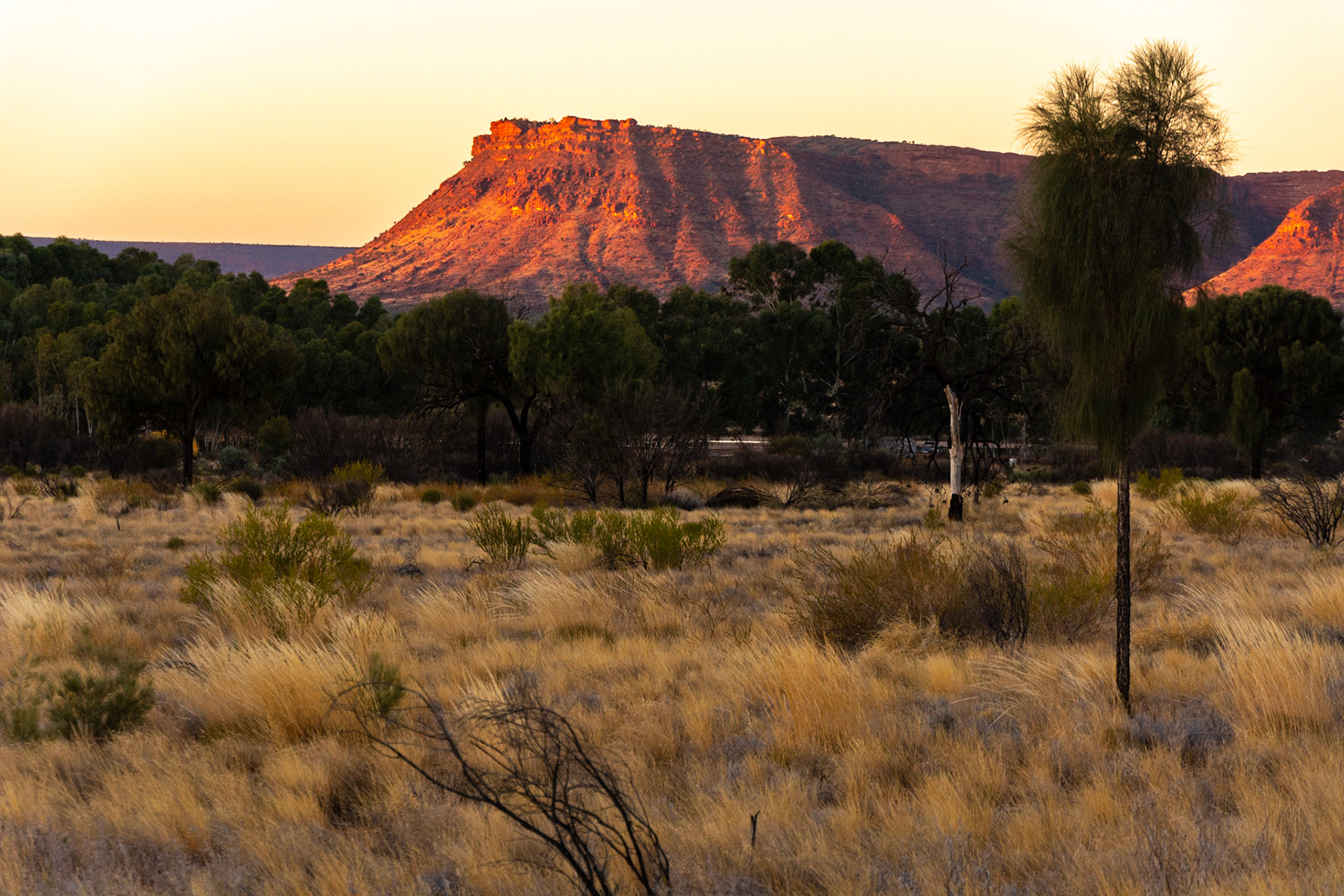
The setting sun highlights the severe escarpment of the George Gill Range

The visitor information structure at the start of the gorge walk, a new addition since our last visit eight years ago.
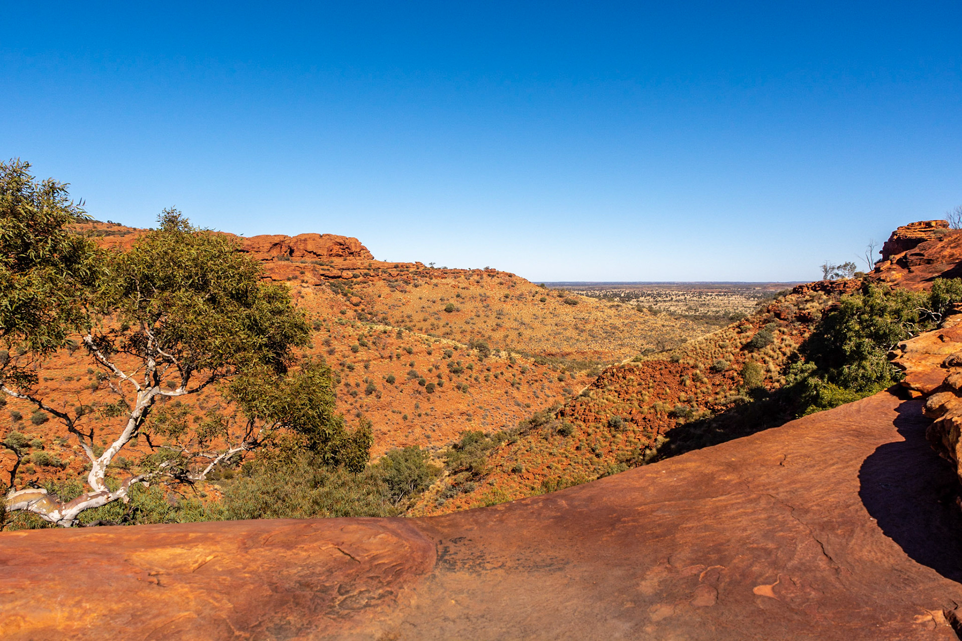
Spectacular views from the ridge top ...........

The walls of Kings Canyon are over 100m high - hikers are mere specks on the opposite side of the canyon rim track.
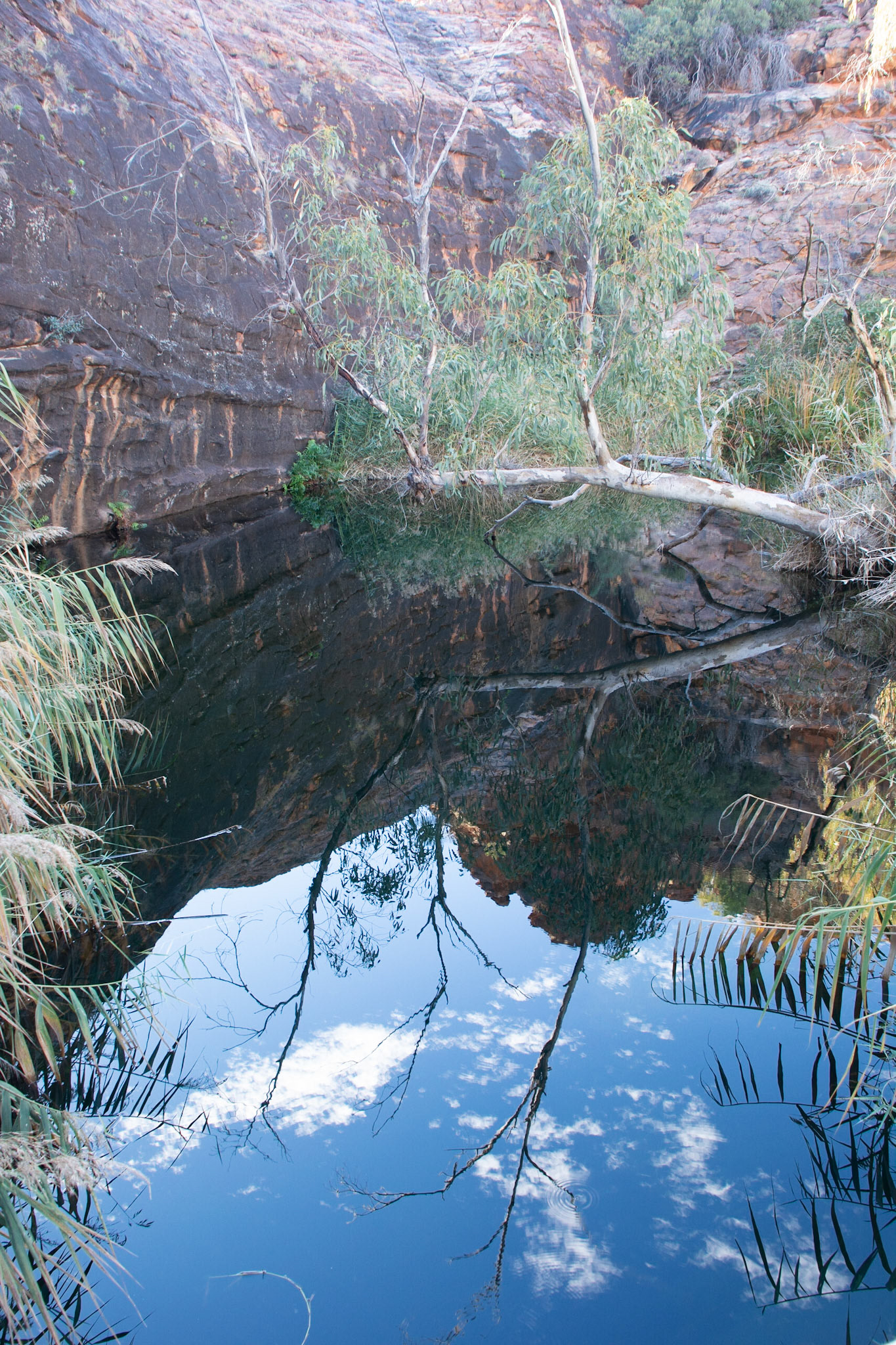
Kathleen Springs a permanent spring at the base of rock in the George Gill Range

Ruins of old cattle yards used by early European settlers to herd stock in the confines of the gorge near Kathleen Springs
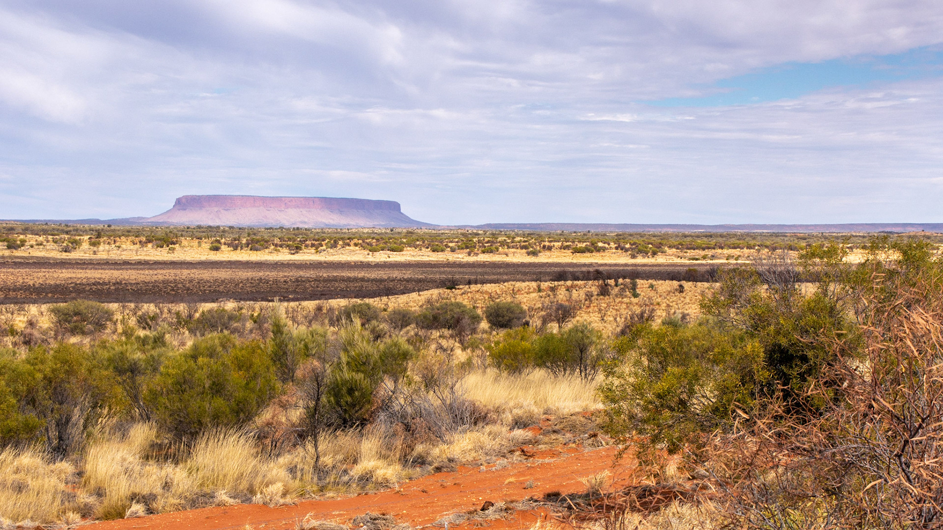
Mount Connor is prominent in the distance ........... affectionately "Fooluru" by the locals
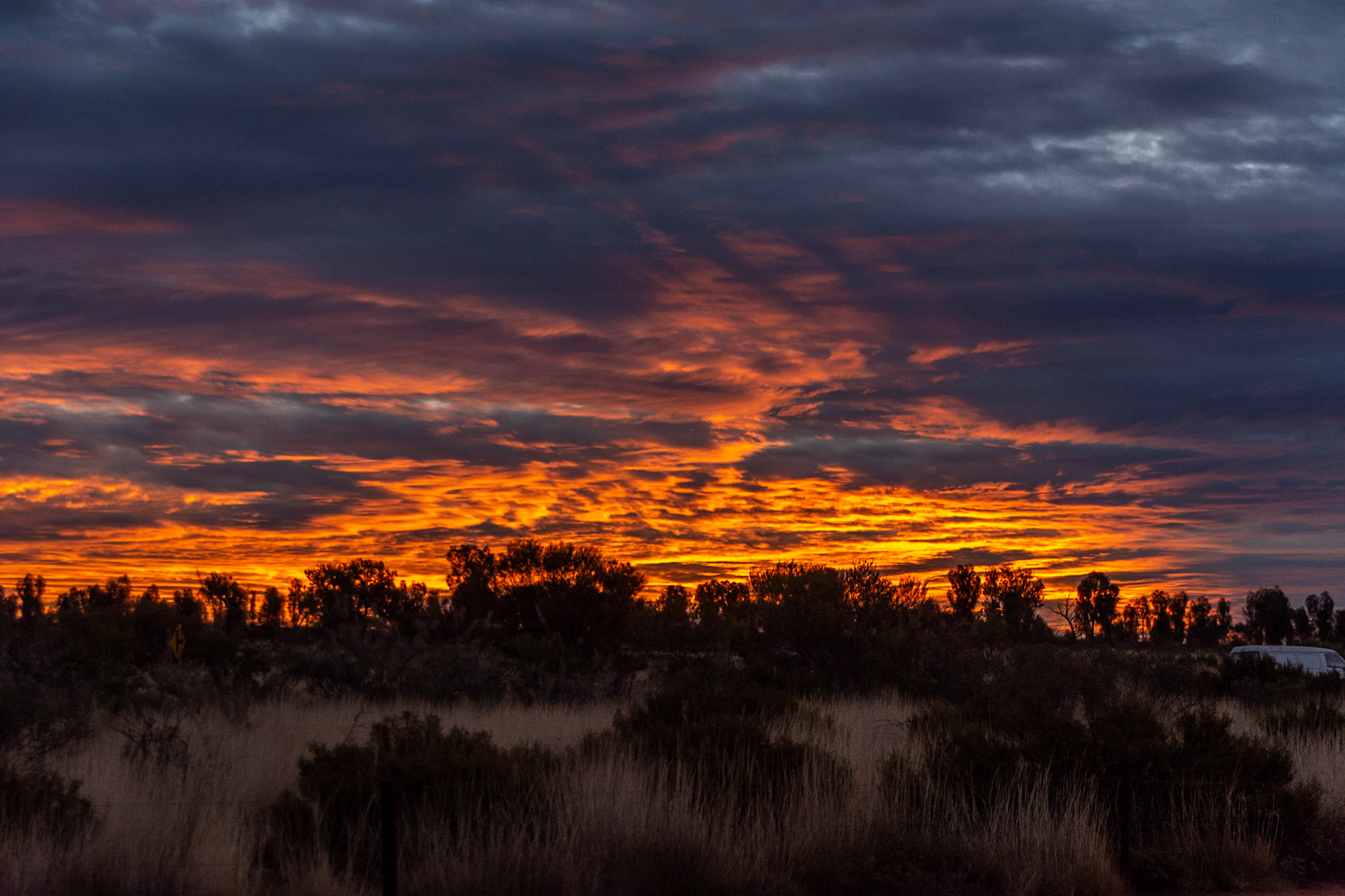
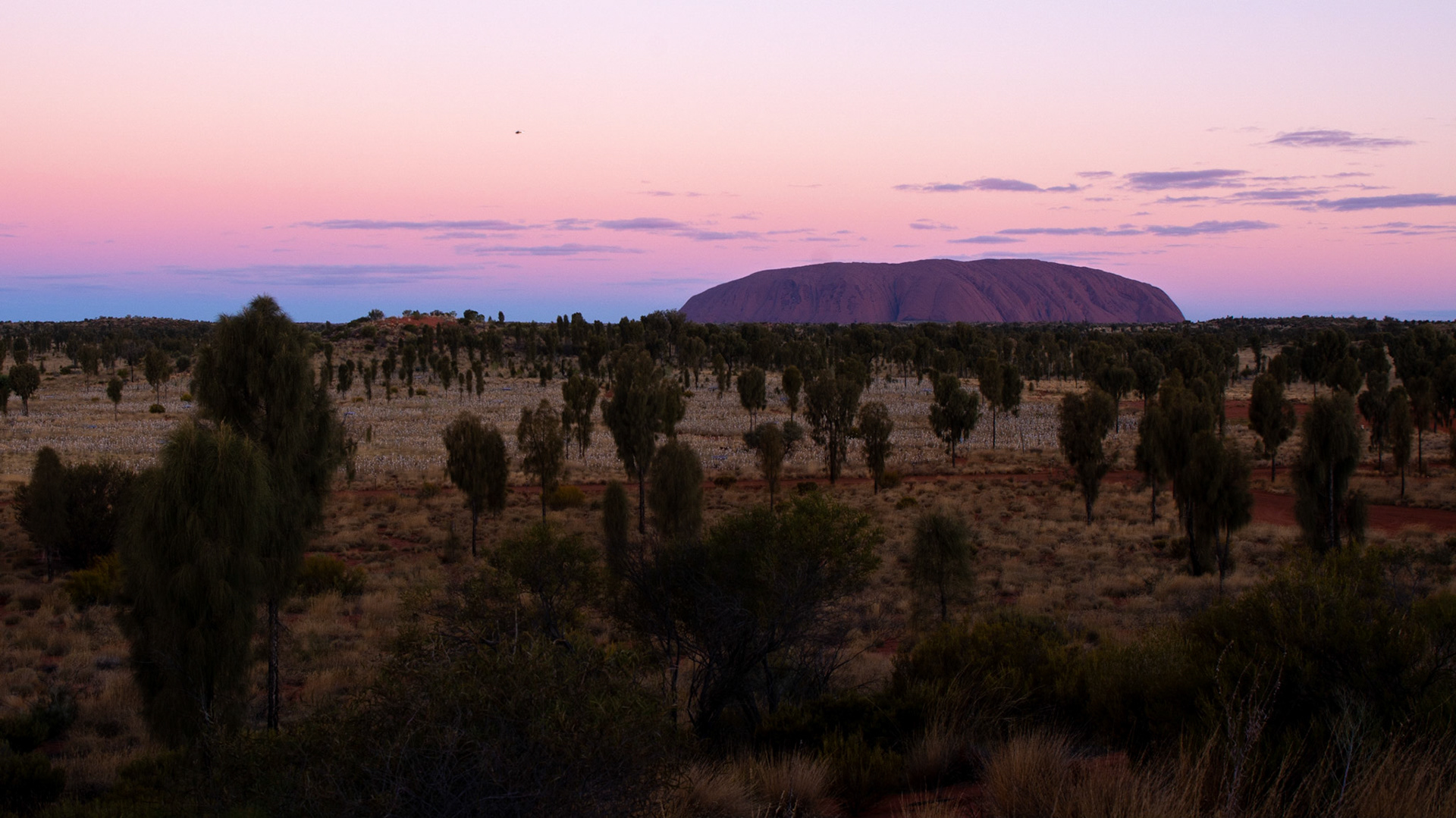
On arrival at Yalara first on the agenda, sunset at Uluru to watch the changing palate of colours.
The next day was an early start for sunrise at the Rock. Later a walk (some 10 km) around the base of Uluru to explore the many facets of this amazing monolith.
An evening dining under the stars and a walk through the amazing "Field of Light" was a fitting close to our time at the Rock.

Sundowners at the Rock
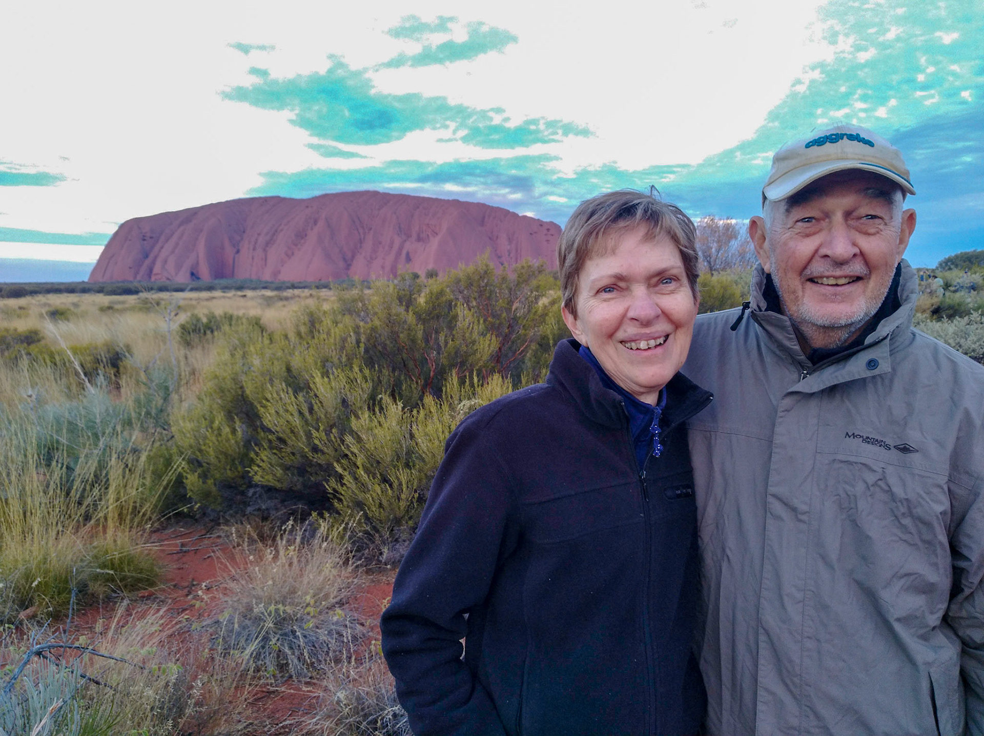
Lorraine and Don with us for sundowners
Golden hour of sunset

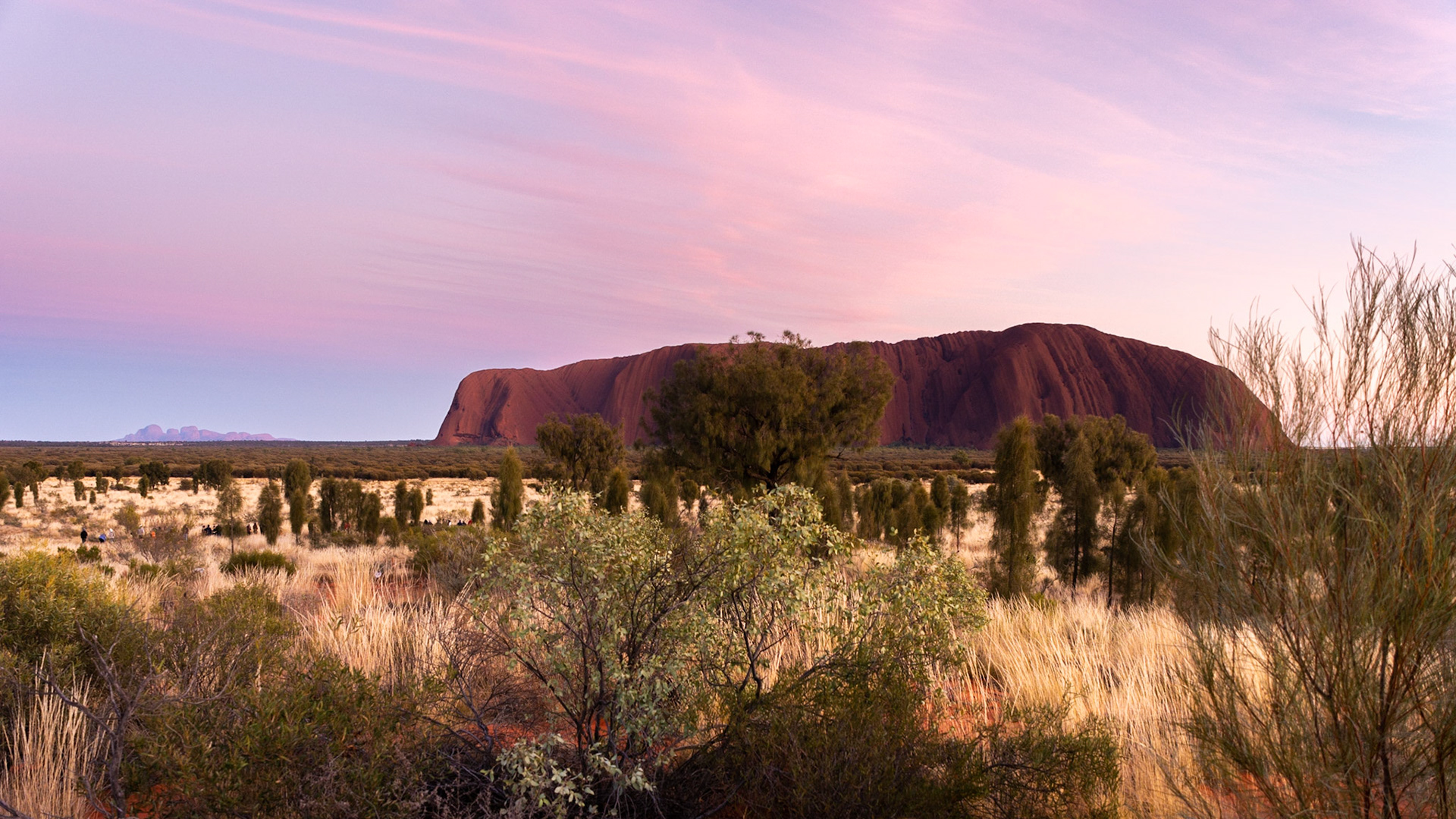
Watching the sunrise at Uluru - The Olgas (Kata-Tjuta) in the background
Uluru sunrise

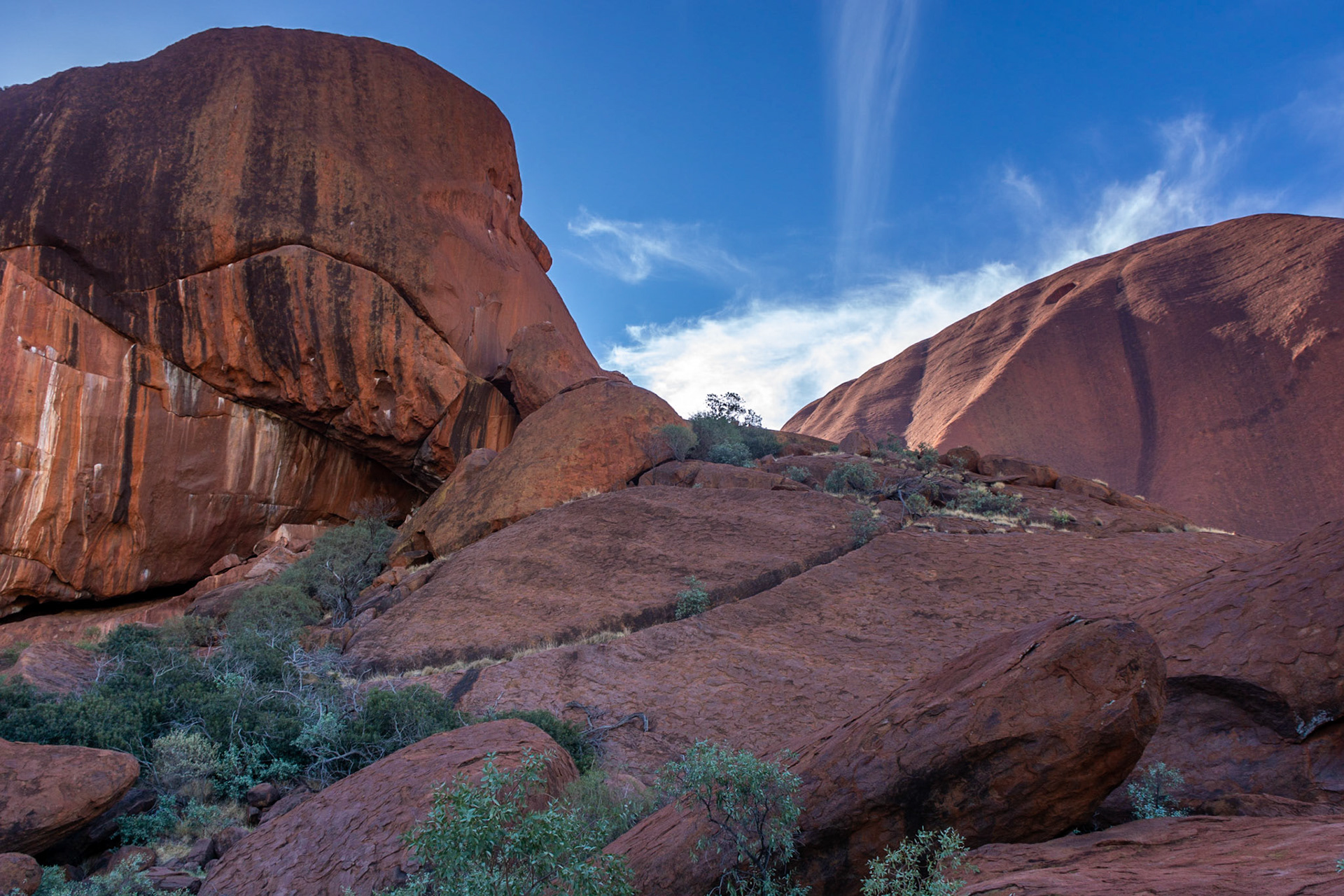
We decide to walk around the rock ......
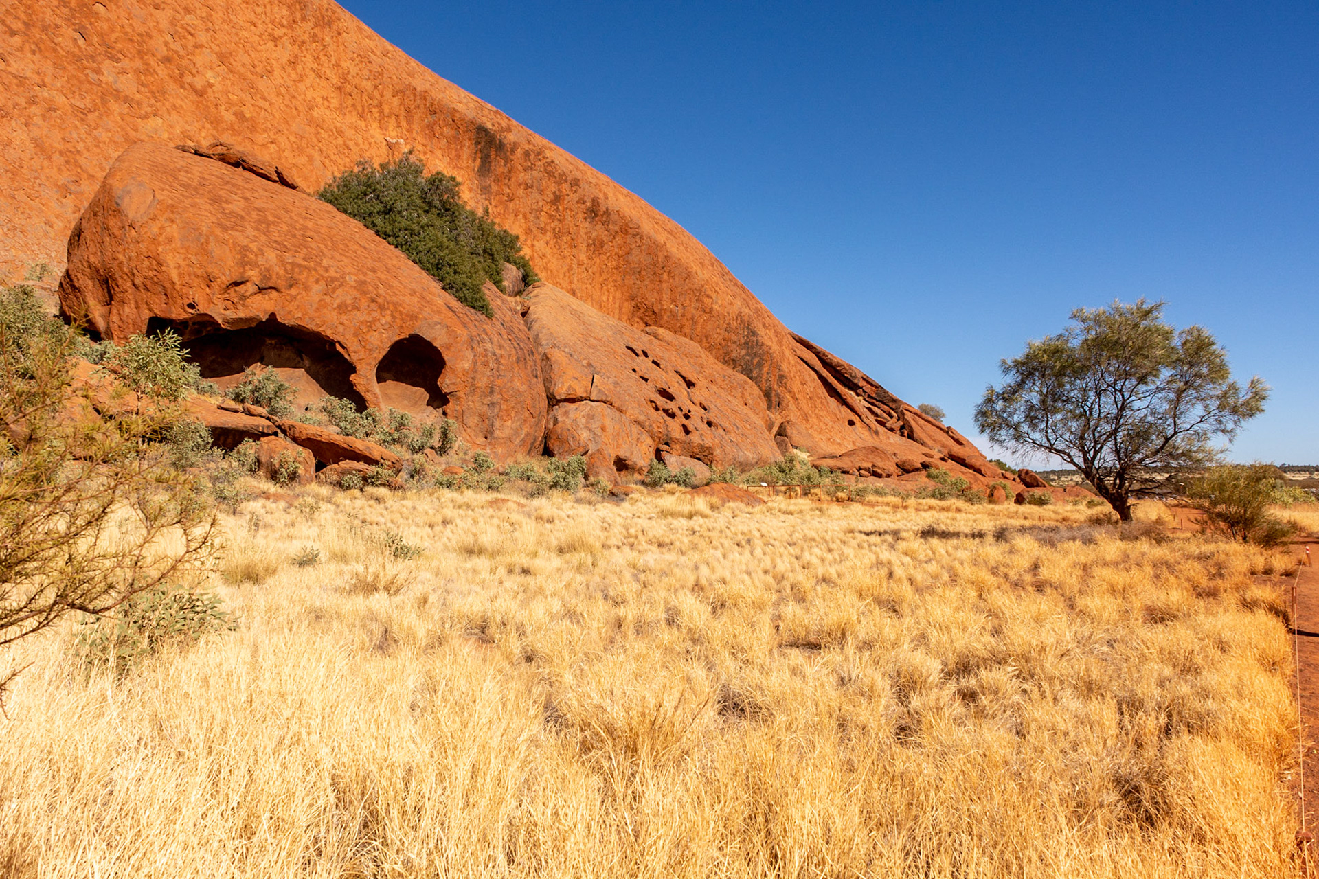
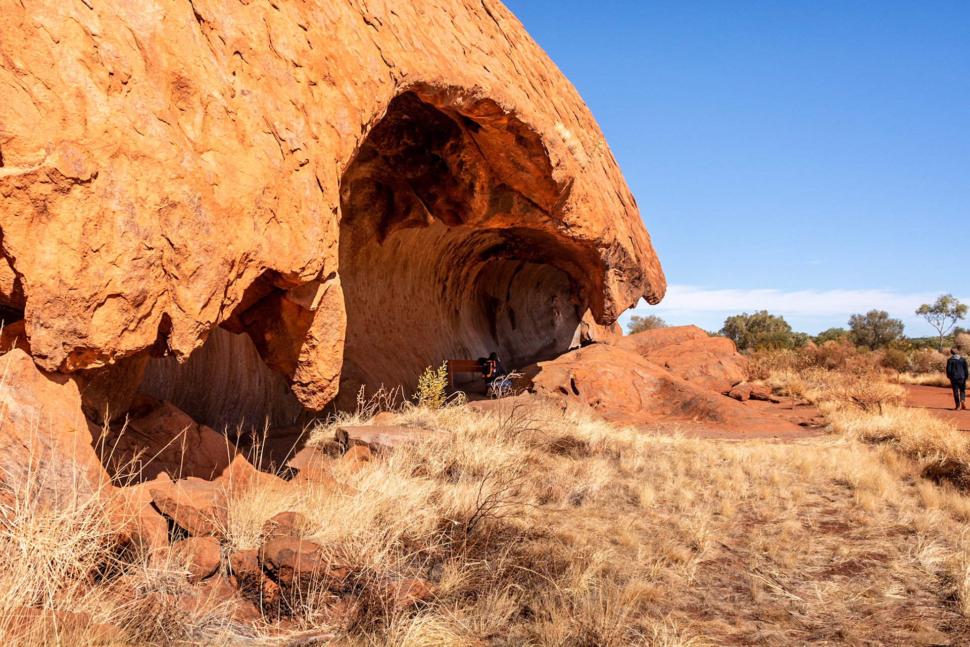
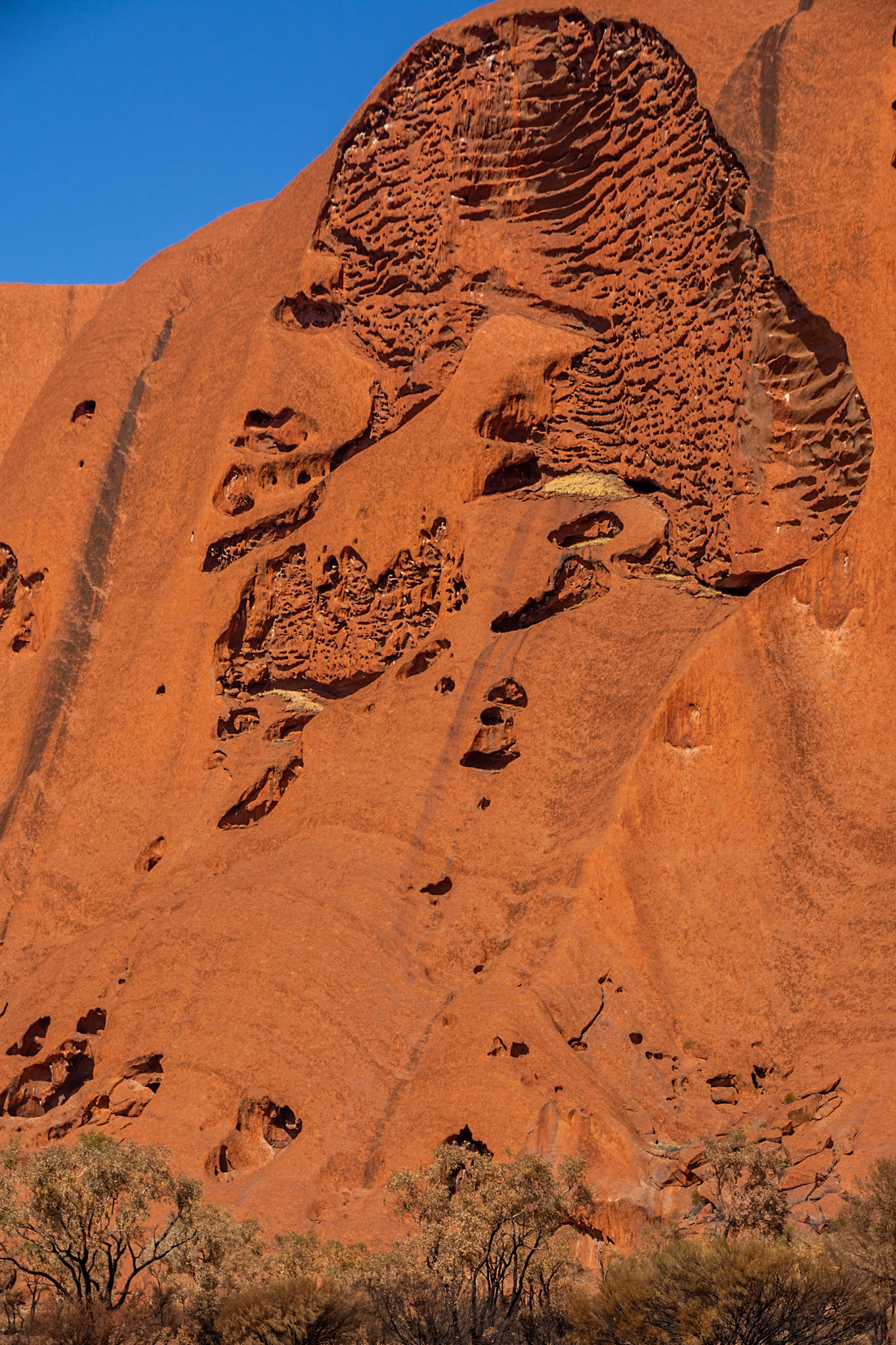
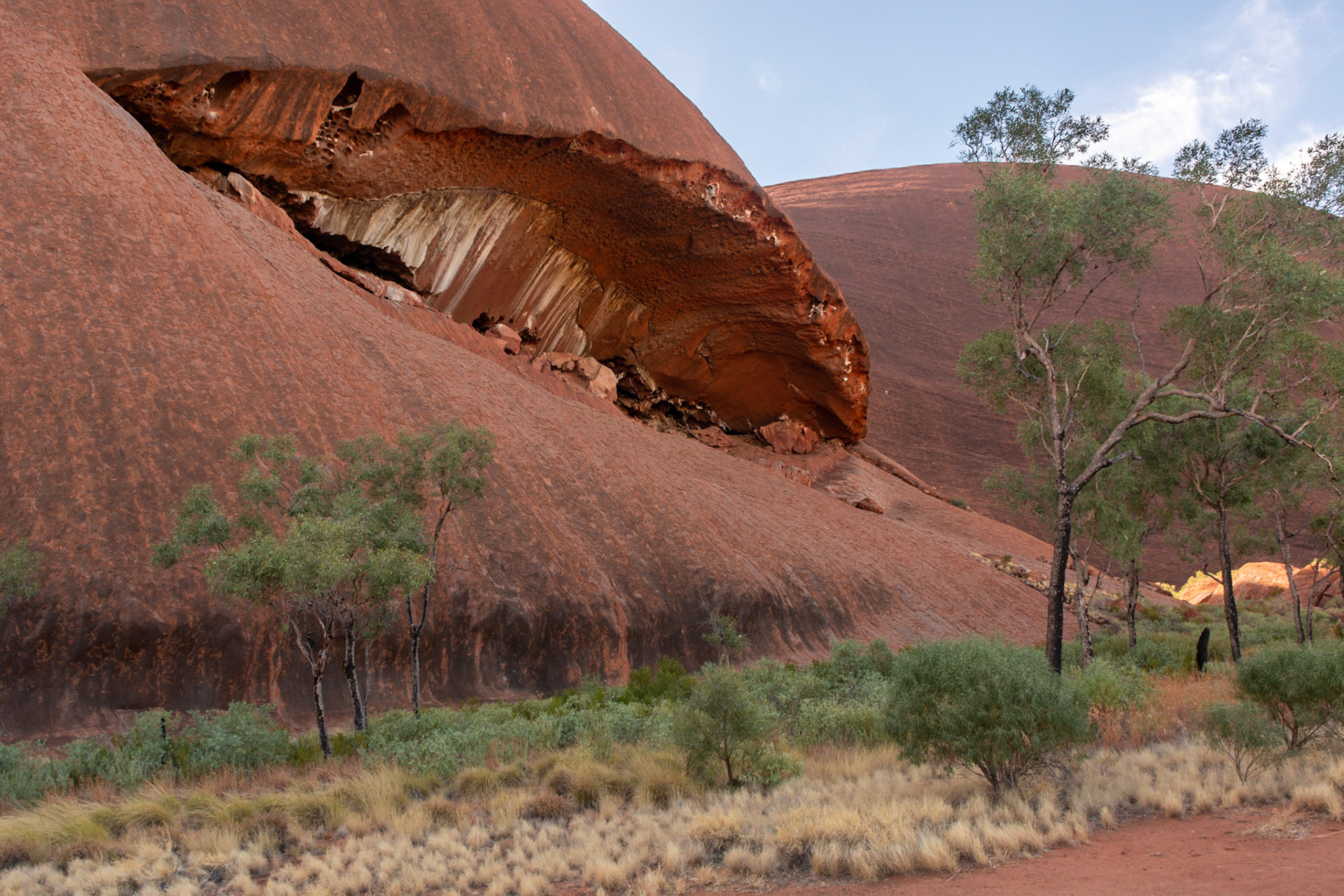
From a distance it appears to be a smooth surface......... in reality it's quite diverse environment comprising caves, overhangs, shapes and colours
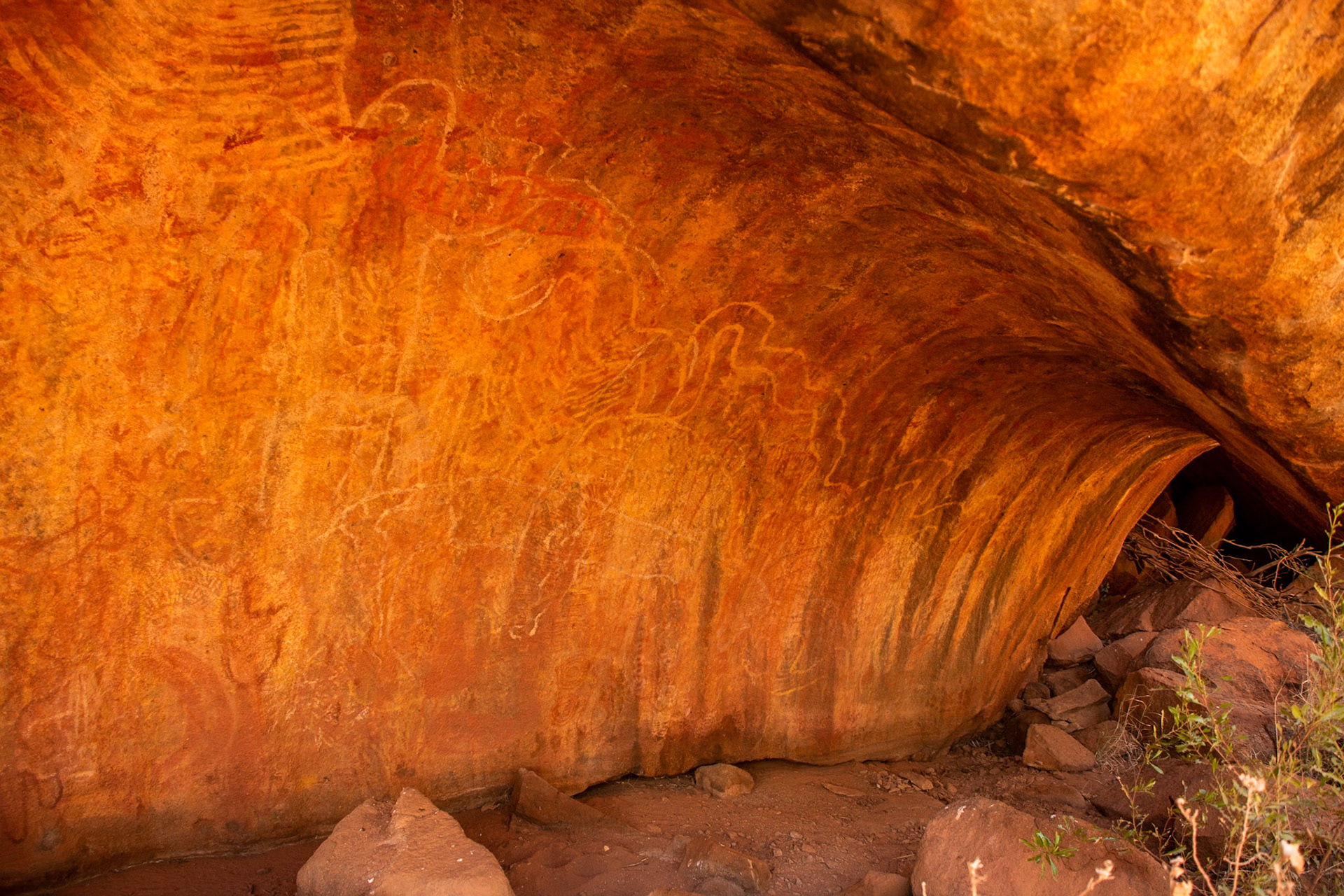
Rainbow serpent artwork adorns the wall of an overhanging cave
A breaking wave shaped rock overhang attracts the attention of a photographer
The image of an aboriginal worrier appears etched naturally in the rock face
.... and the gaping mouth of a whale
Shapes and colours of the rock against against the vivid blue sky inspire the imagination..........
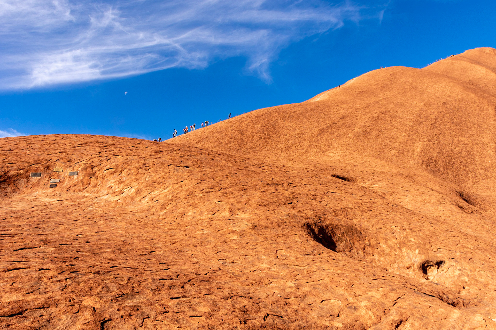
It's a long way to the top .............. hundreds of tourists still venture up the face of Uluru despite the wishes of the traditional owners
Sunset looking over the Field of Light towards Uluru ......... glorious shades of pink and blue wash over the rock and in the sky
Cheers...... Dining under the stars, a great experience
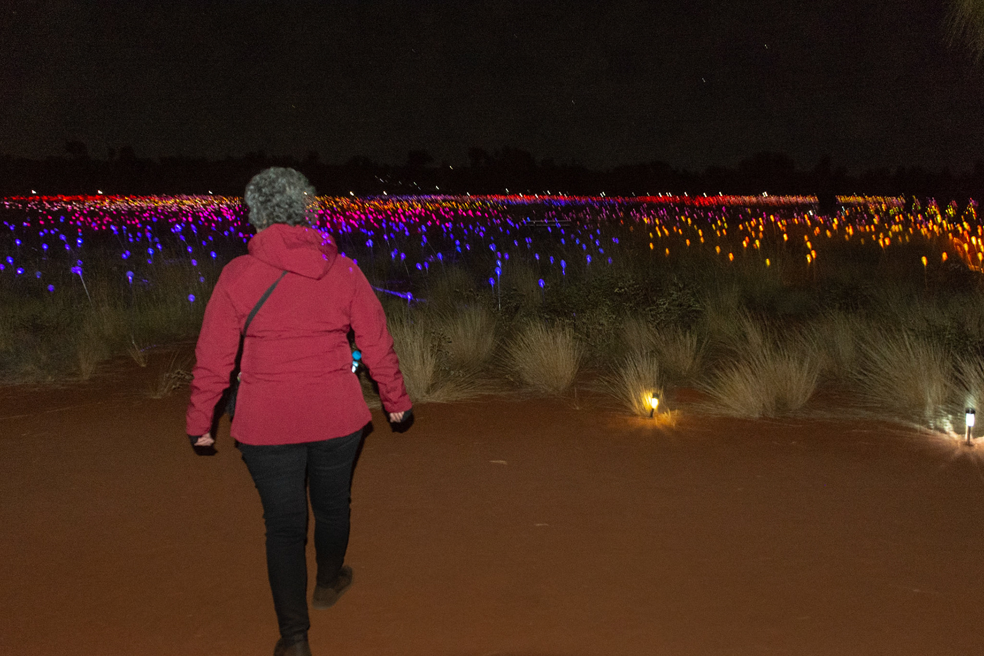
A walk through the Field of Light
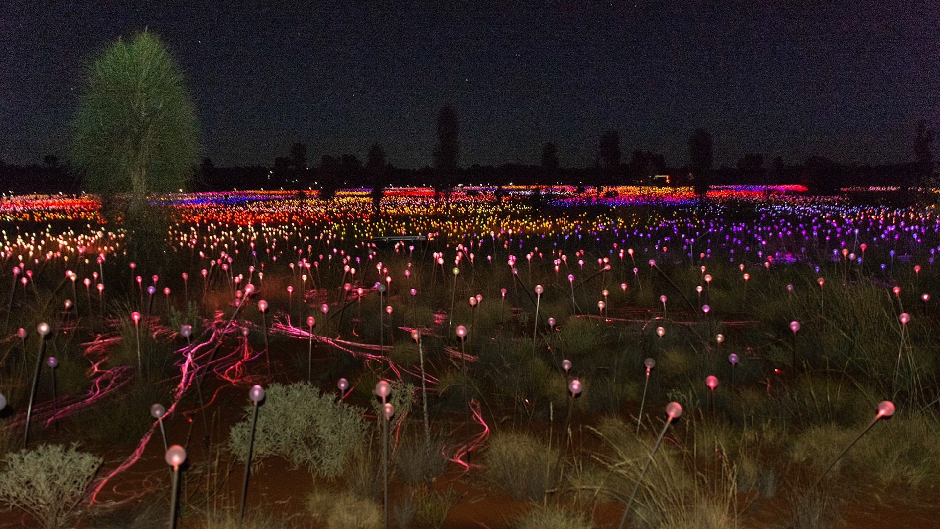
The Field of Light ...... trees silhouetted against the horizon

Floating light forms..........
East Macdonnell Ranges
Emily Gorge - our first to explore as we head east from Alice
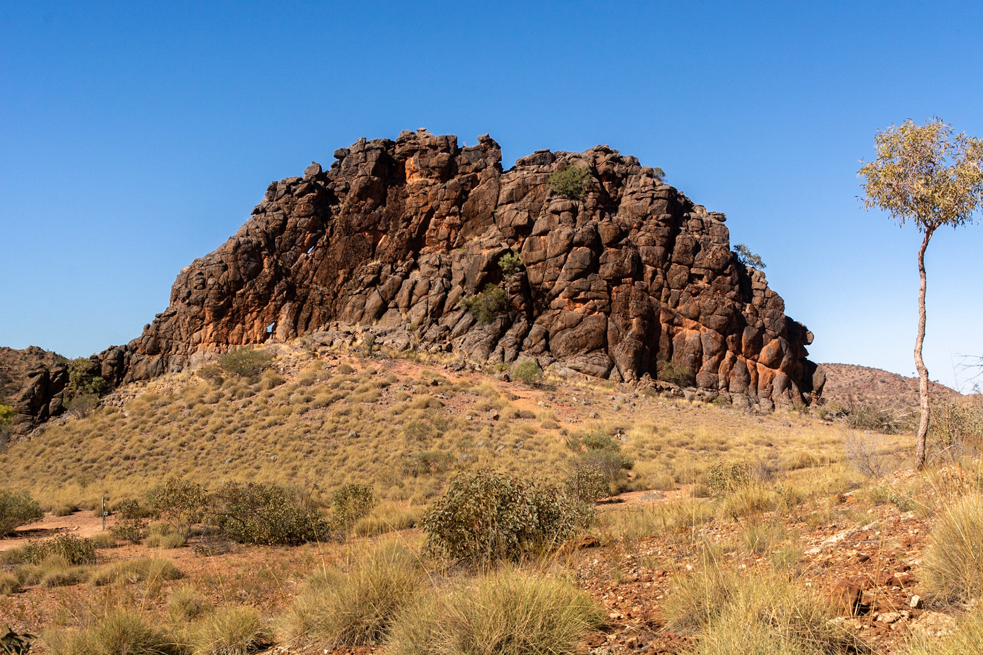
Coroboree Rock - This amazing column of grey dolomite rock stands prominently above the adjacent landscape.
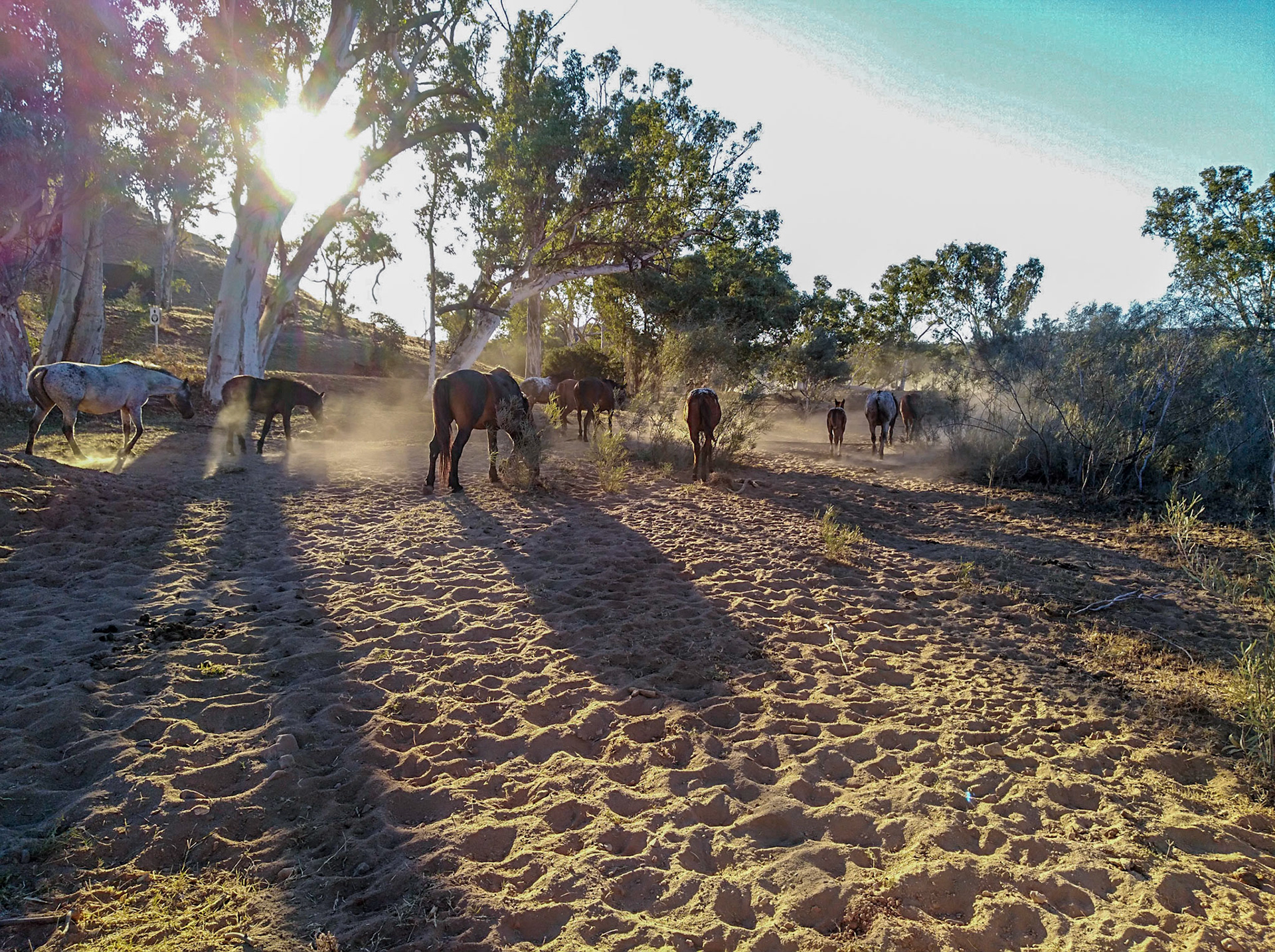
Brumbies make their way along a dry creek in the afternoon
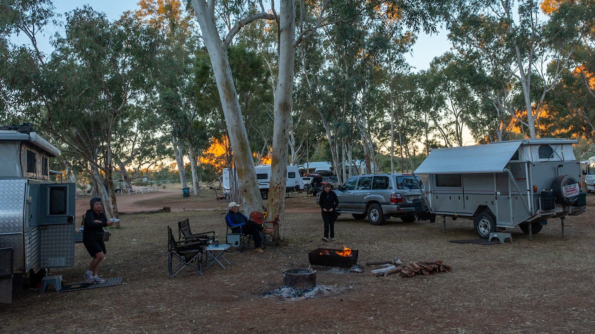
Ross River Resort campground - It is a tourist resort formed around the original Loves Creek Homestead built in the 1890's.
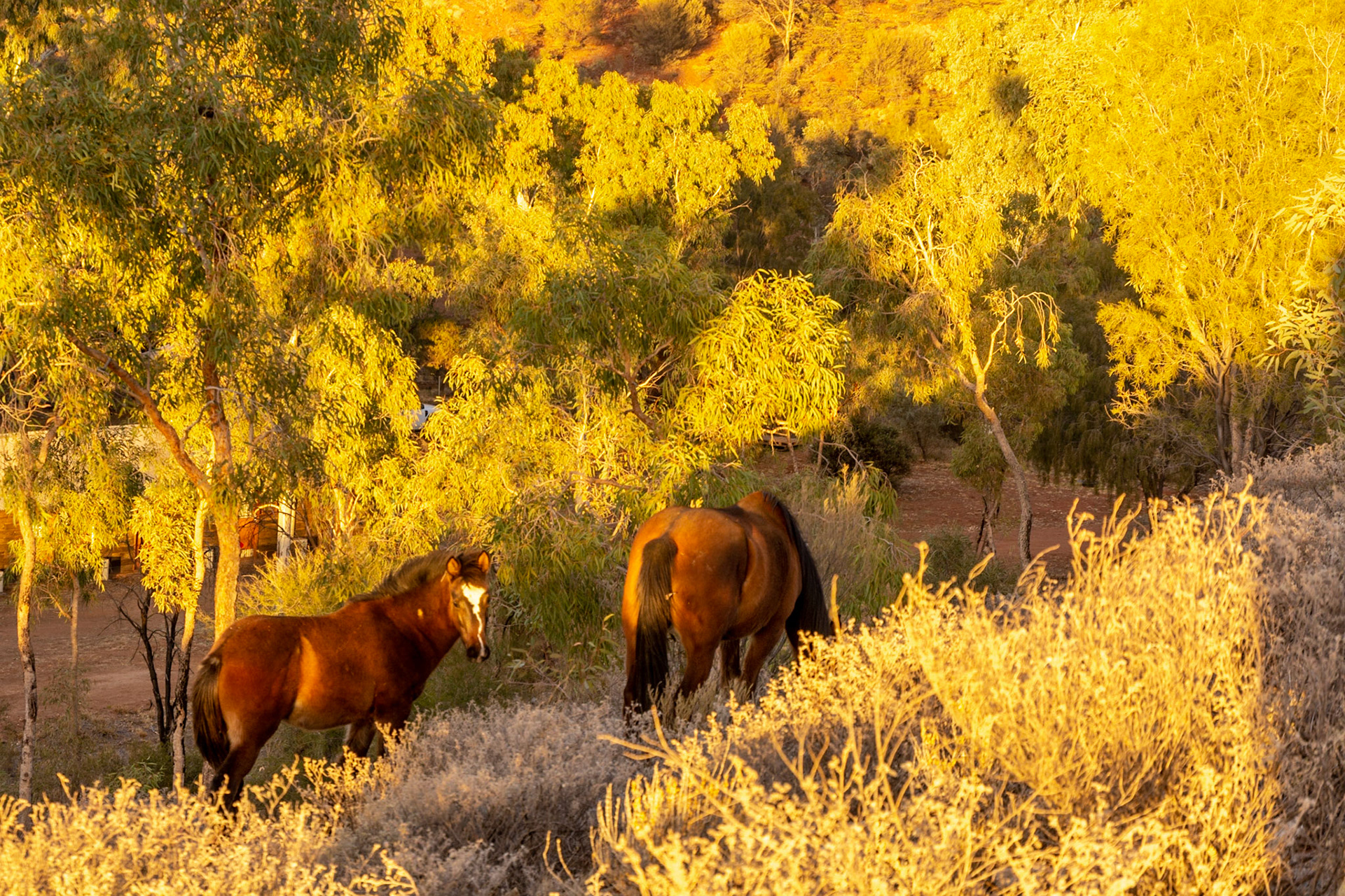
Brumbies graze in the early morning sunshine
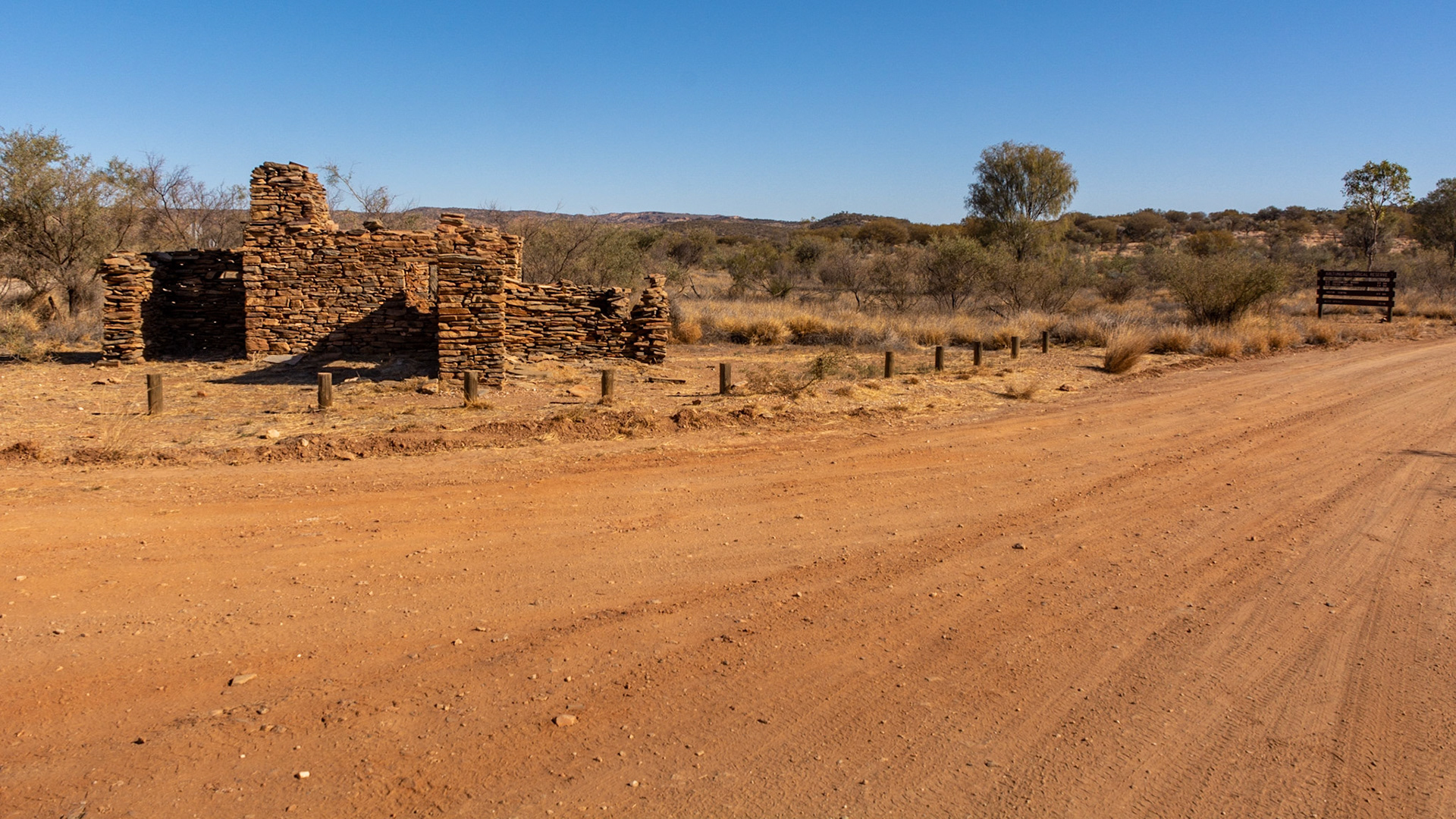
Arltunga....we stop along the Binns Track crossroads to check out the ruins of the old settlement.Arltunga is a deserted gold rush town located 110 km) east of Alice Springs, It is of major historical significance as the first major European settlement in Central Australia.
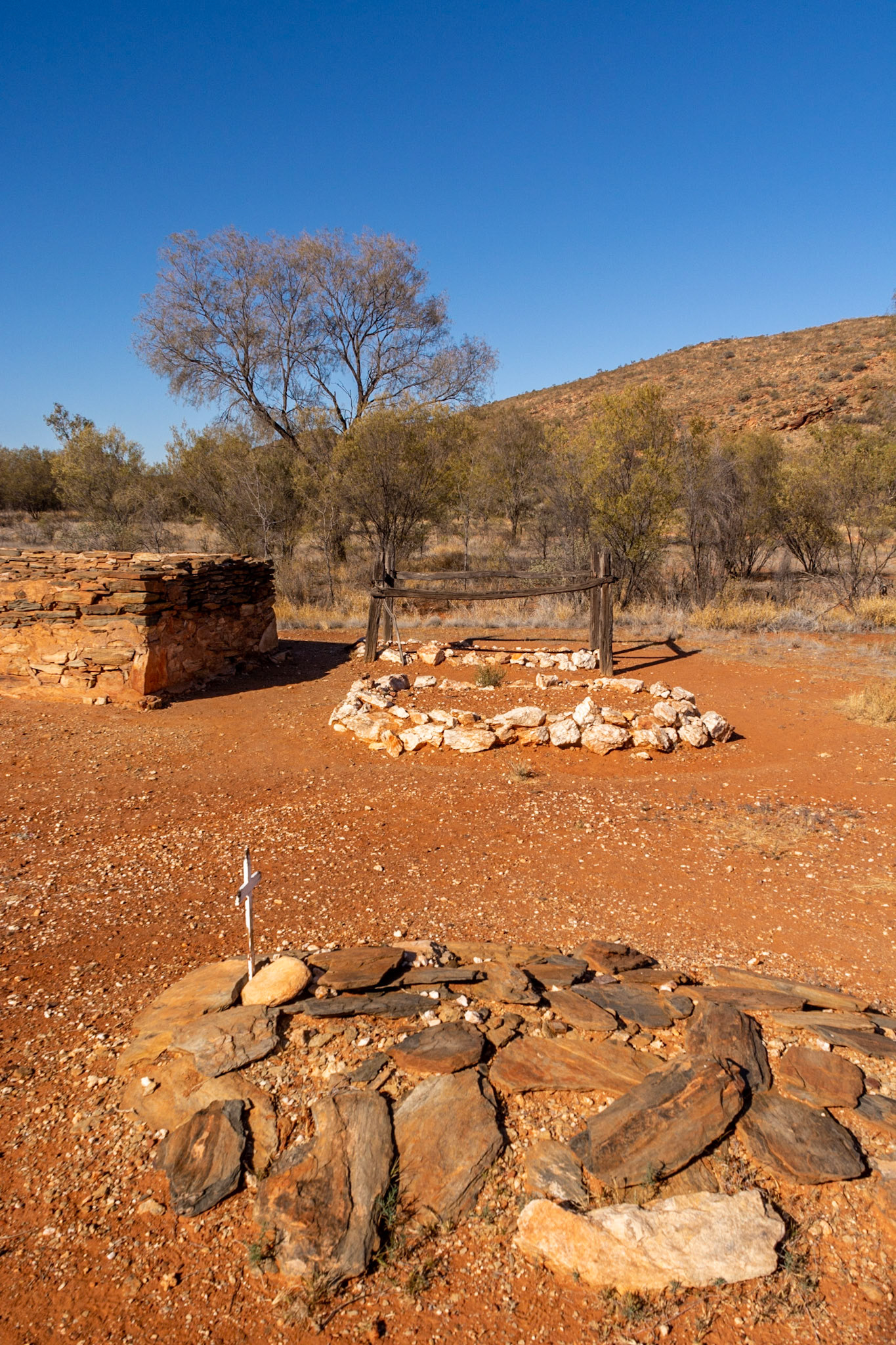
Arltunga....rudimentry markers identfy the grave sites
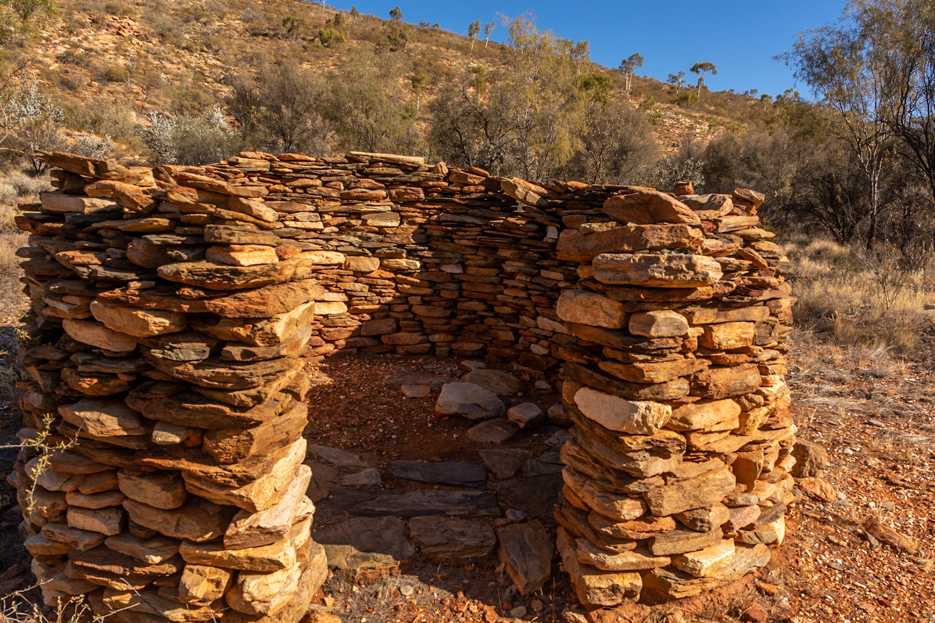
This is typical of the style of dwelling constructed by miners in Arltunga’s early mining period (1887-1913). Usually roofed over with a canvas tent fly supported by timber poles.
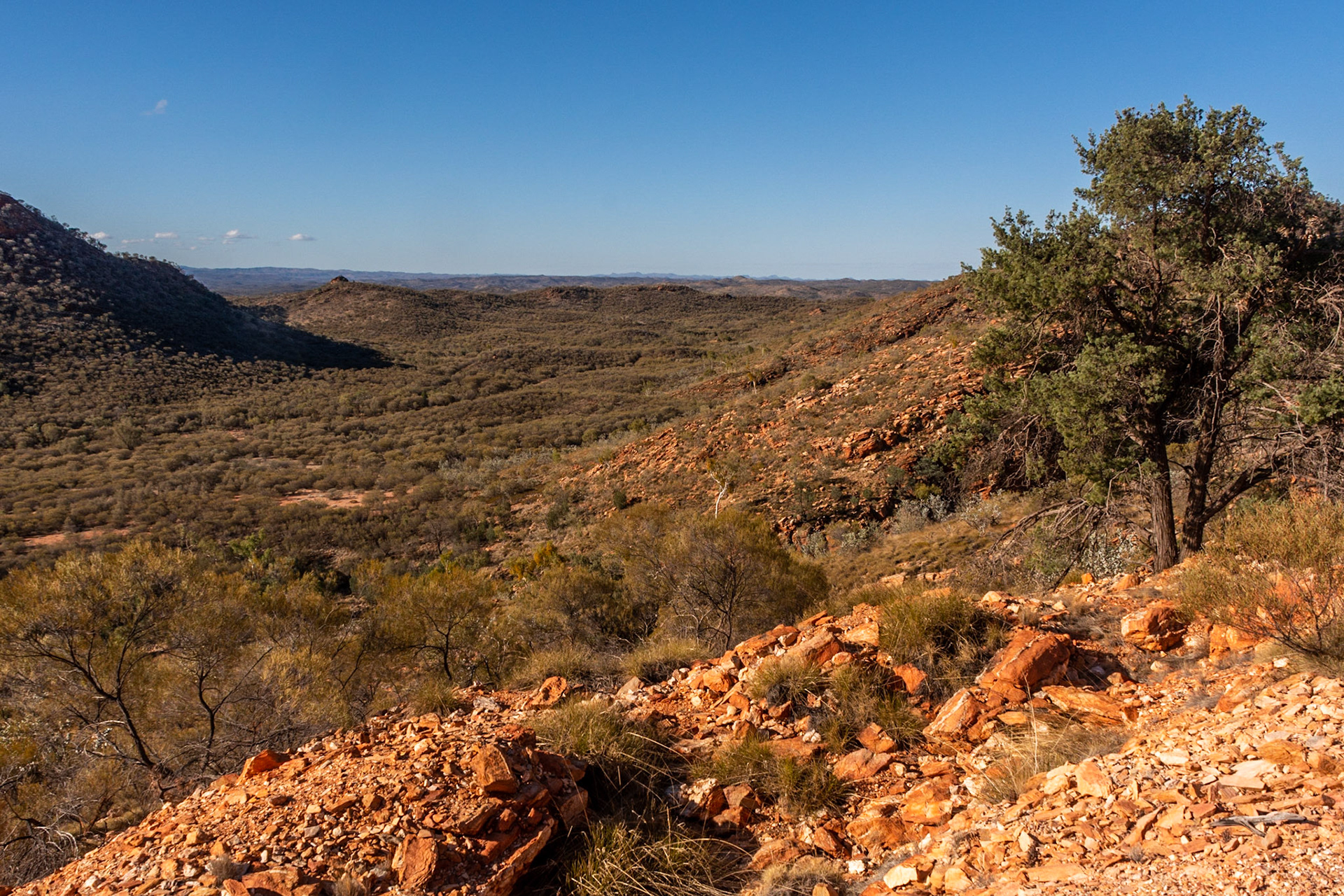
Looking east through the valley towards the Great Western Mine....unfortunately we didnt have time to explore the full extent of the Arltunga Reserve
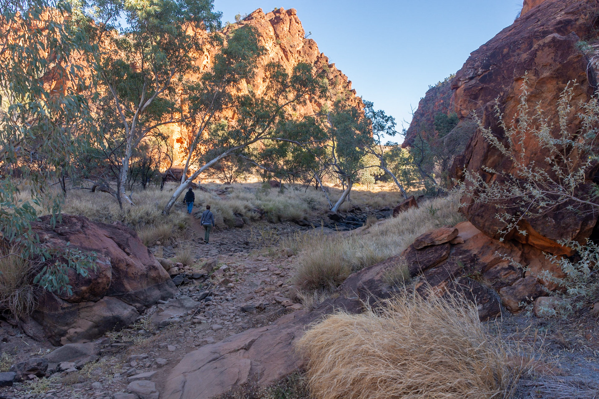
Morning walk through the hills N'Dhala Gorge Nature Park
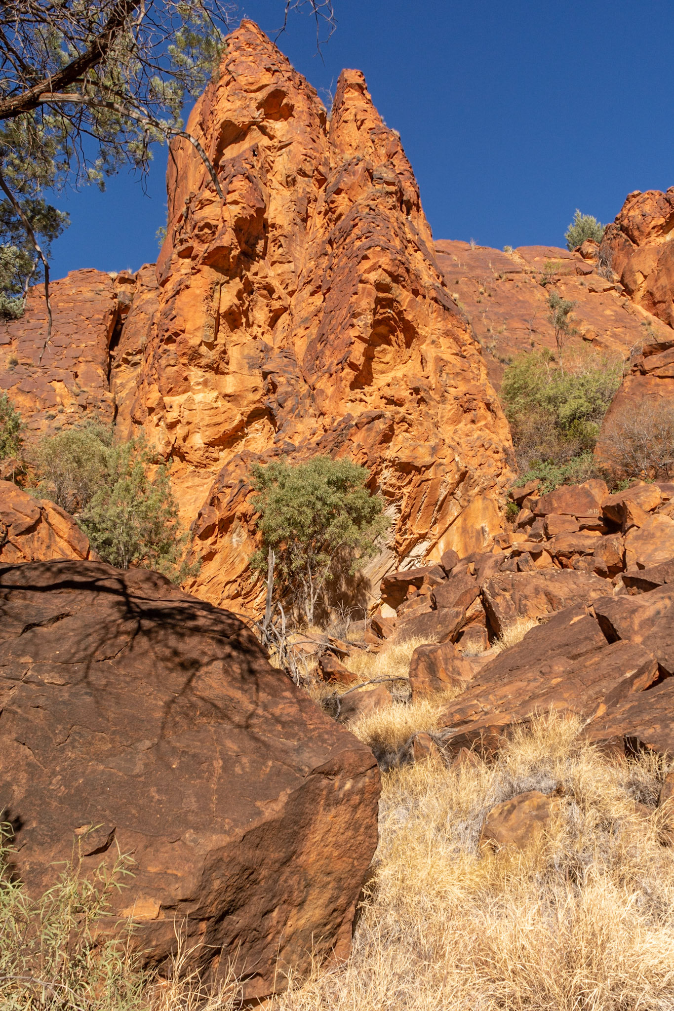
N'Dhala Gorge rock formations
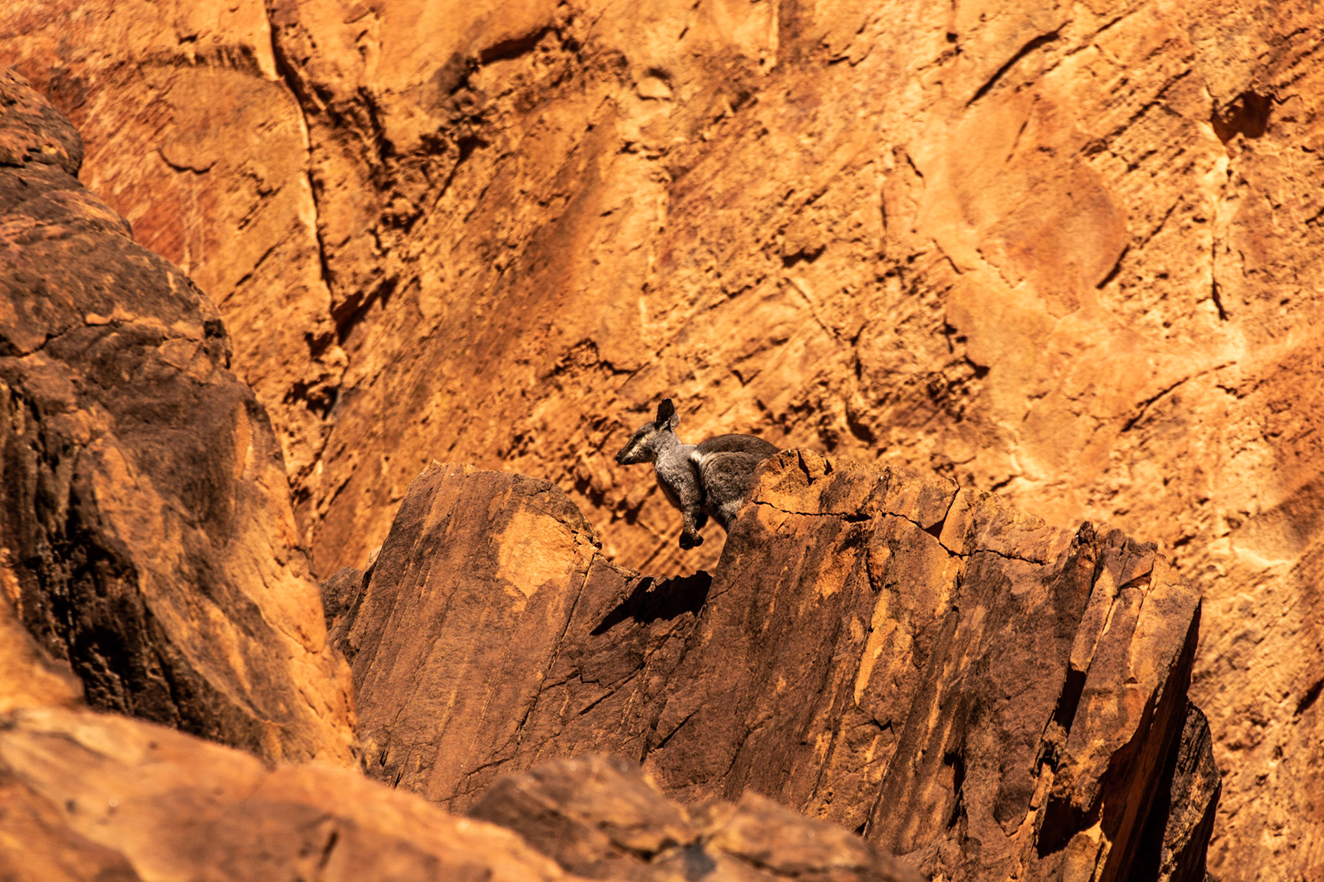
N'Dhala - a Black-footed Rock Wallaby
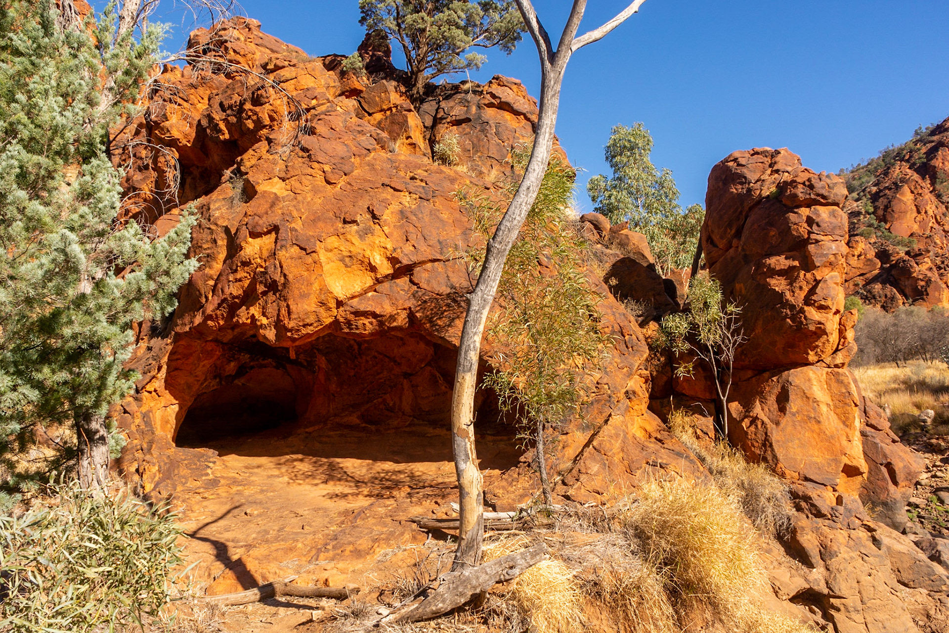
N'Dhala - a cave shelter in the gorge
N'Dhala - nature's artwork
For the next leg of our journey we traveled up the Stuart Highway to Katherine where we headed west, our final stop in the Northern Territory - the Keep River National Park

Crossings the Tropic of Capricorn ....... a little further from home this time
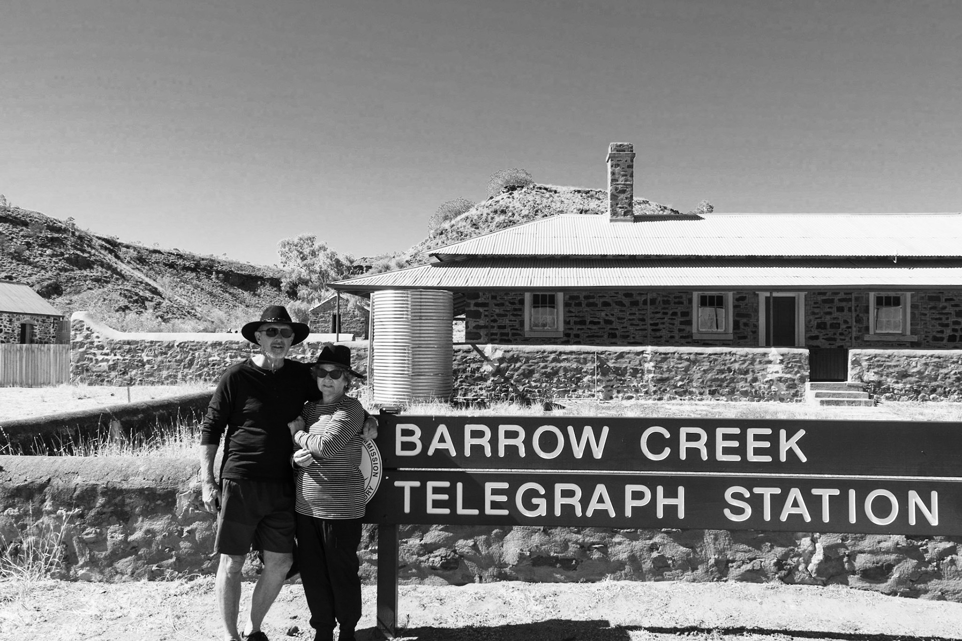
Barrow Ck .........we drop into the Historic Overland Telegraph Station

Barrow Ck Gaol ....... a tree with legs!!
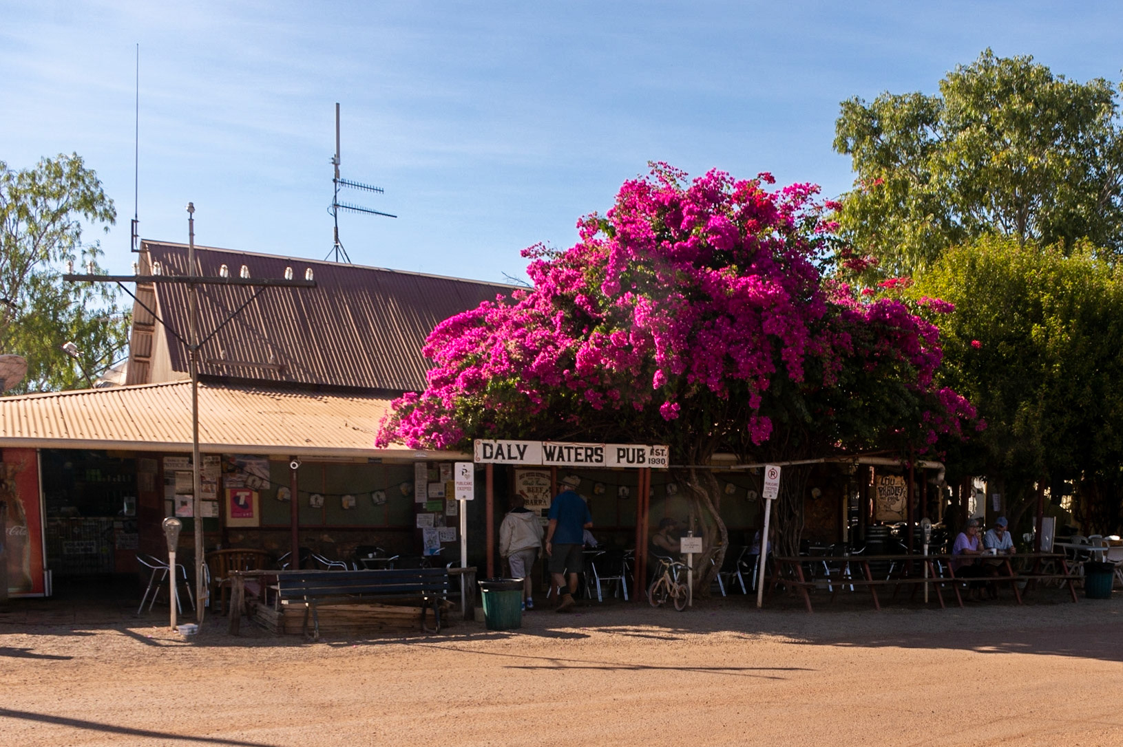
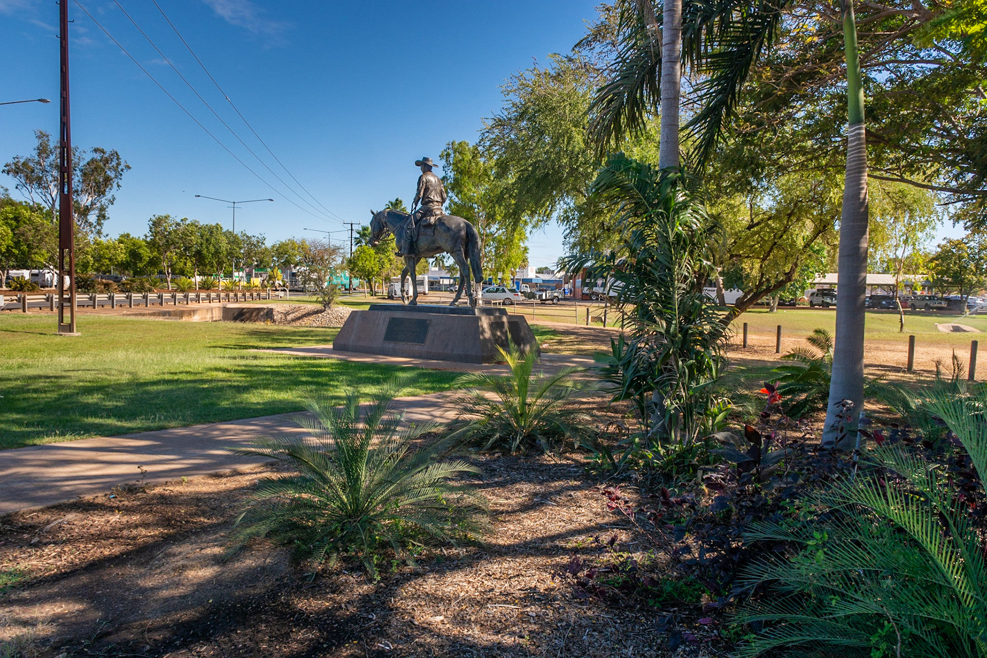
Grey Nomad must-do location .......
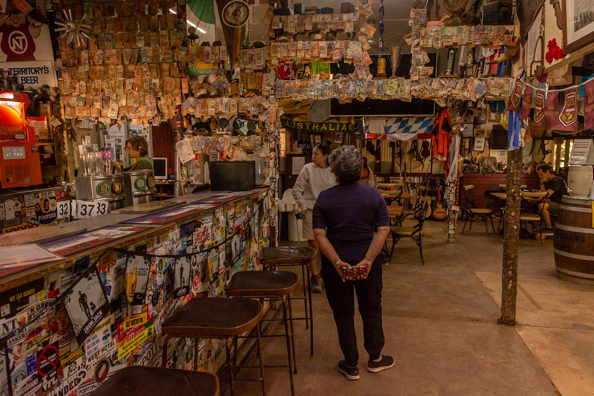
Checking out the quirky interior decor ........

Meanwhile at Larrimah ...... the Pink Panrher chills
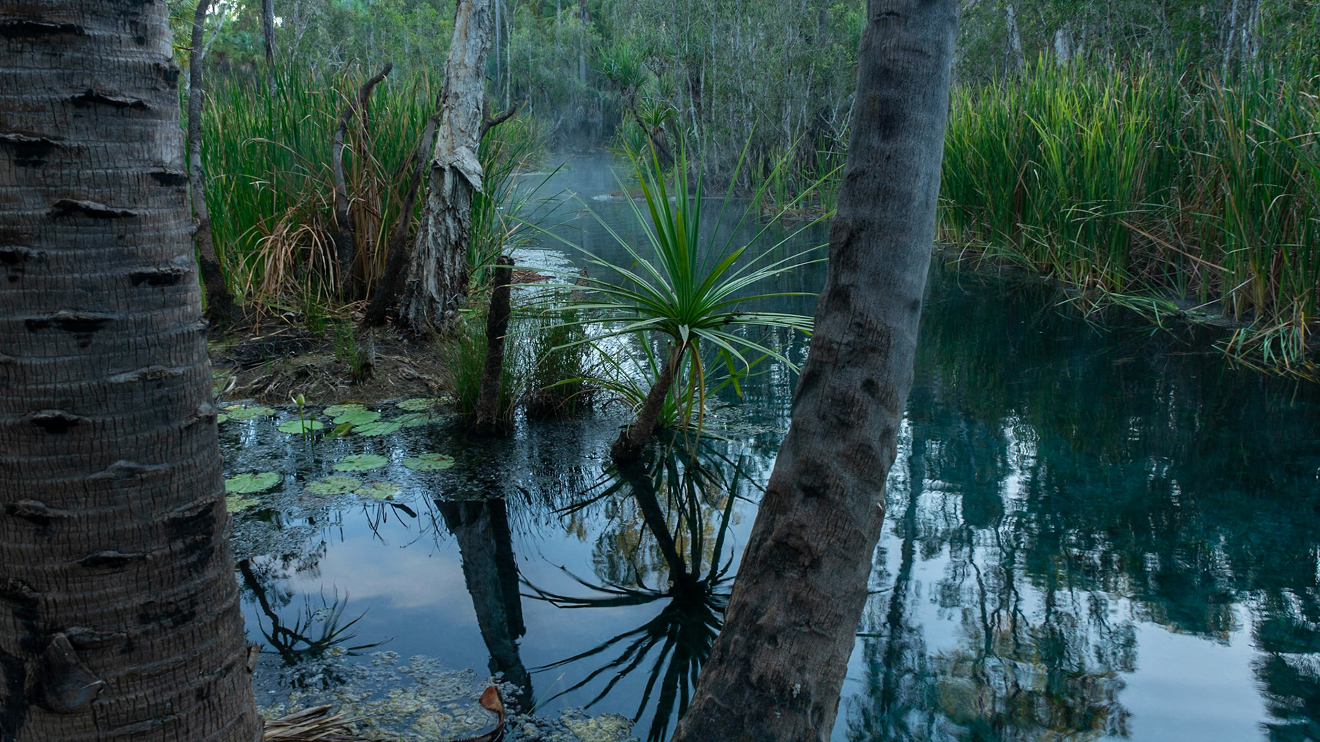
Bitter Springs ........ an oasis in "We of the Never-Never" country
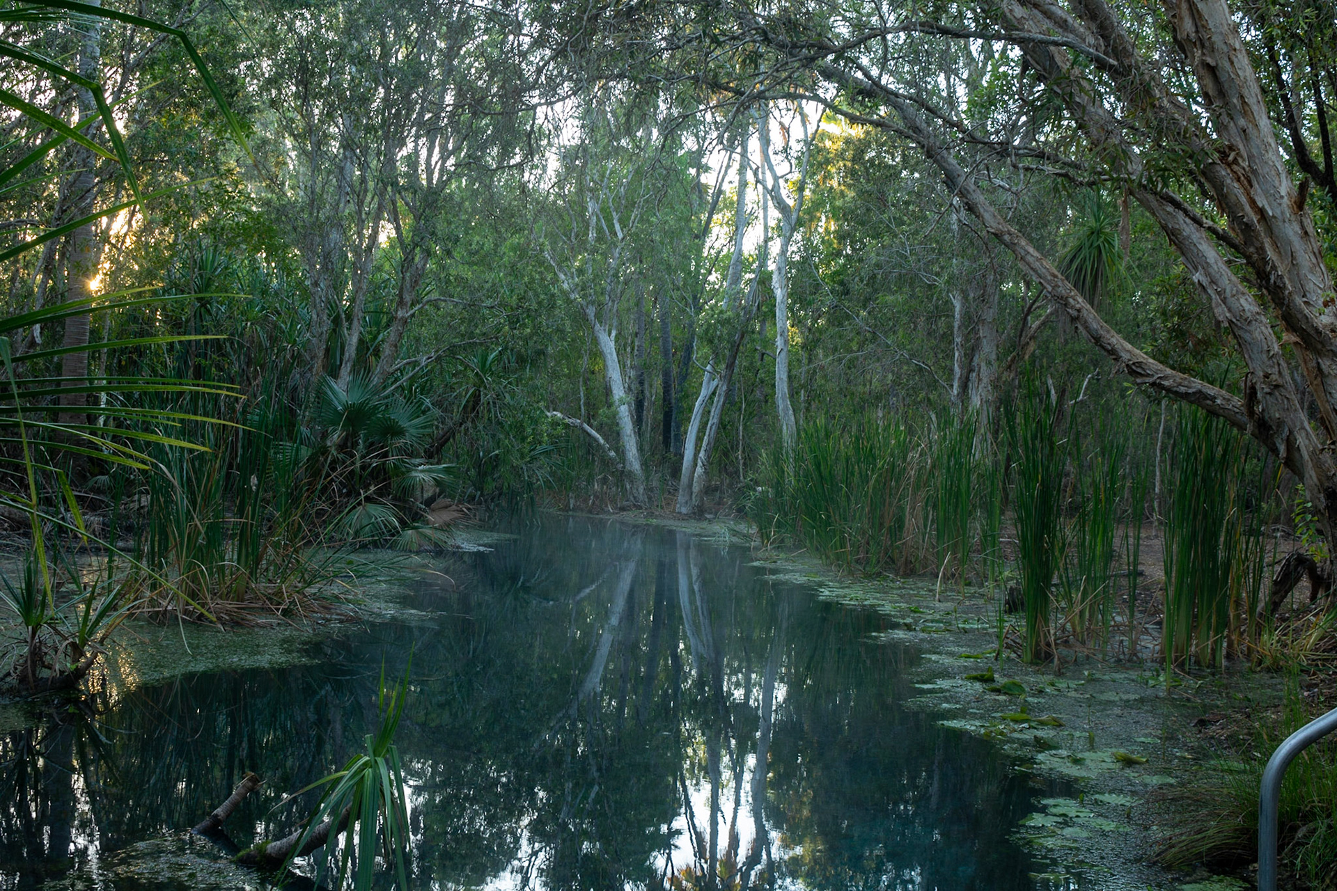
Bitter springs ........ mist rising from the hot spring water in the early morning
Welcome to Katherine

Katherine Gorge .......... a tour boat cruises on the river below
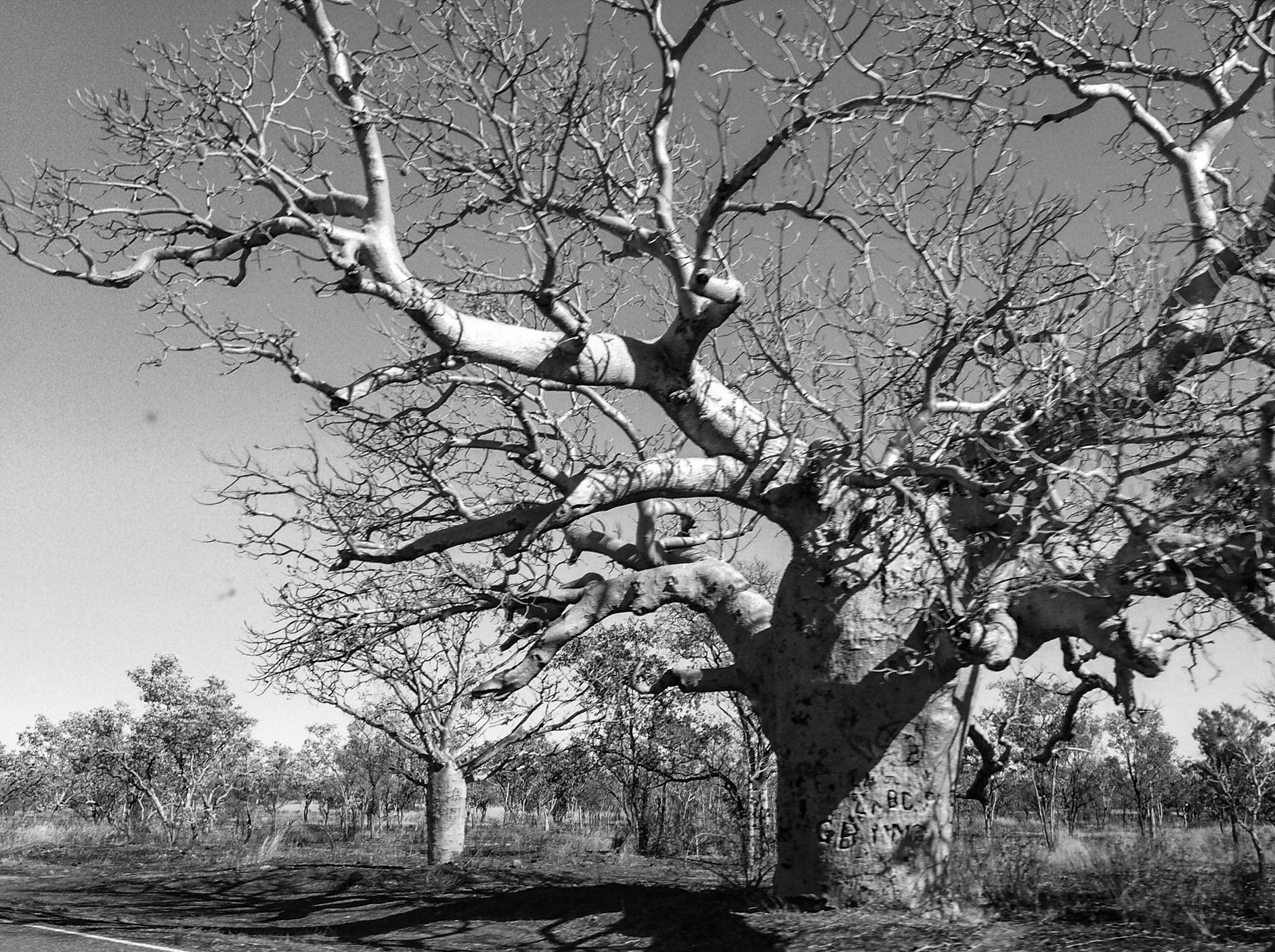
............. amazing shapes of the famous Boab Tree, no two alike

Our journey west takes us across the Victoria River ............. we pause to take a cruise up the river to the escarpments of the Yambarran Ranges.

Victoria River ....... a White Bellied Sea Eagle soars overhead waiting for a handout
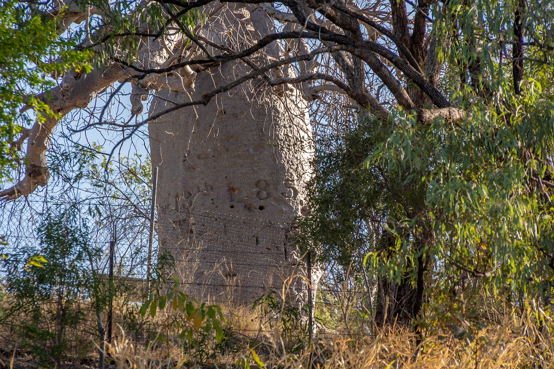
Gregory tree, Victoria River - carvings circa 1850 are still visible.

Severe rock escarpments of the Yambarran Ranges highlighted by the setting sun.
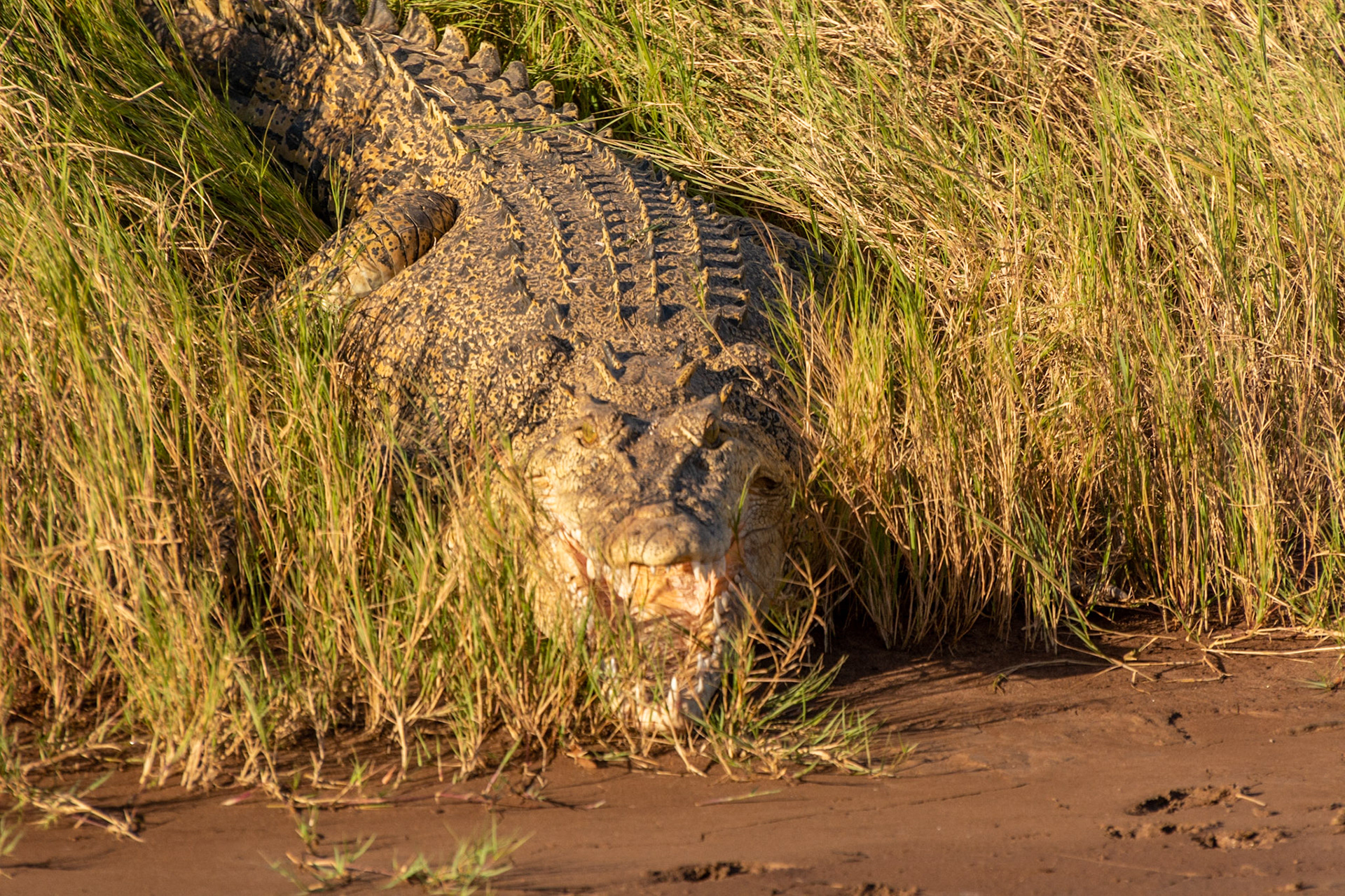
Victoria River .......... our only sighting of saltwater croc.
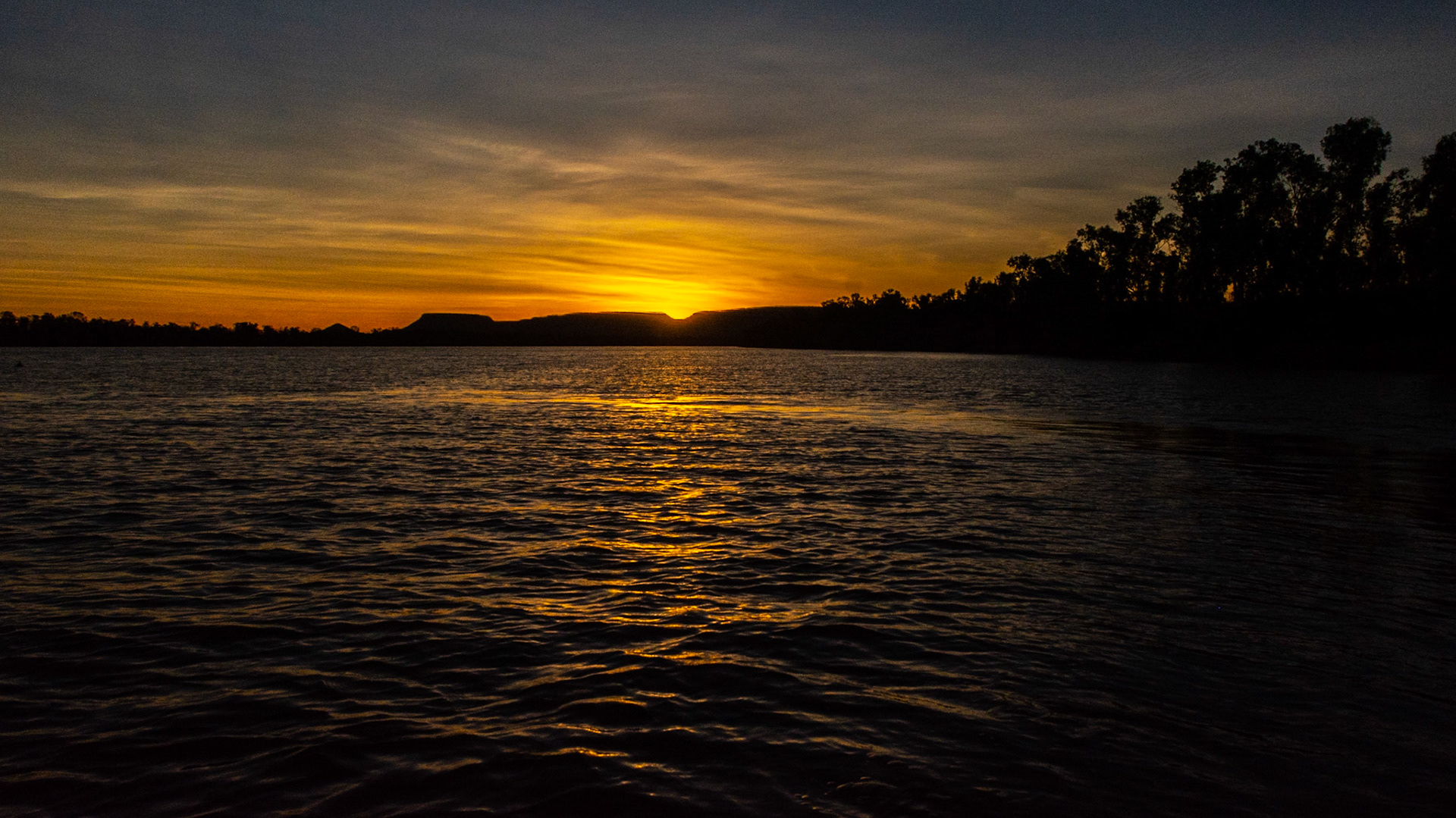
Sunset behind the Yambarran Ranges.
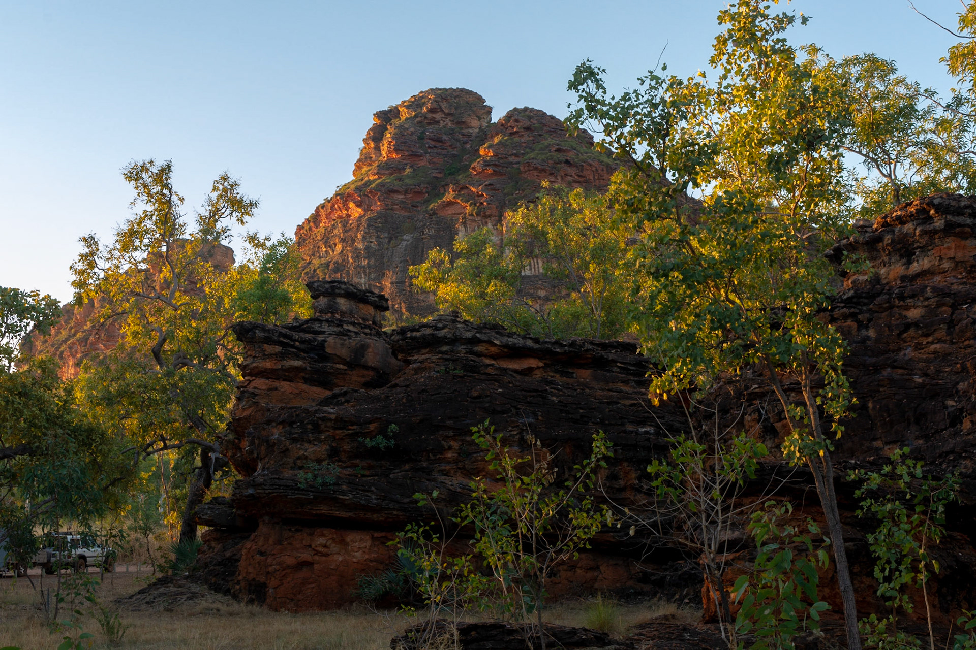
Keep River National Park ......... The setting sun highlights the hill behind our Goorrandalng campsite
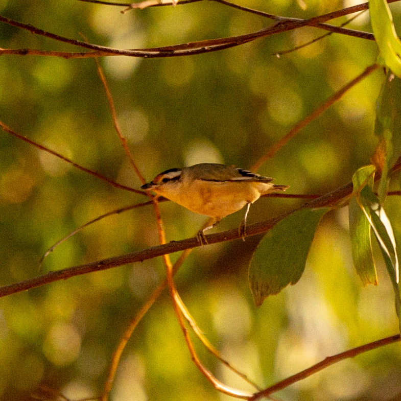
Keep River National Park ............. our neighbour, A Stirated Pardalote perches in the tree above burrow on the ground.
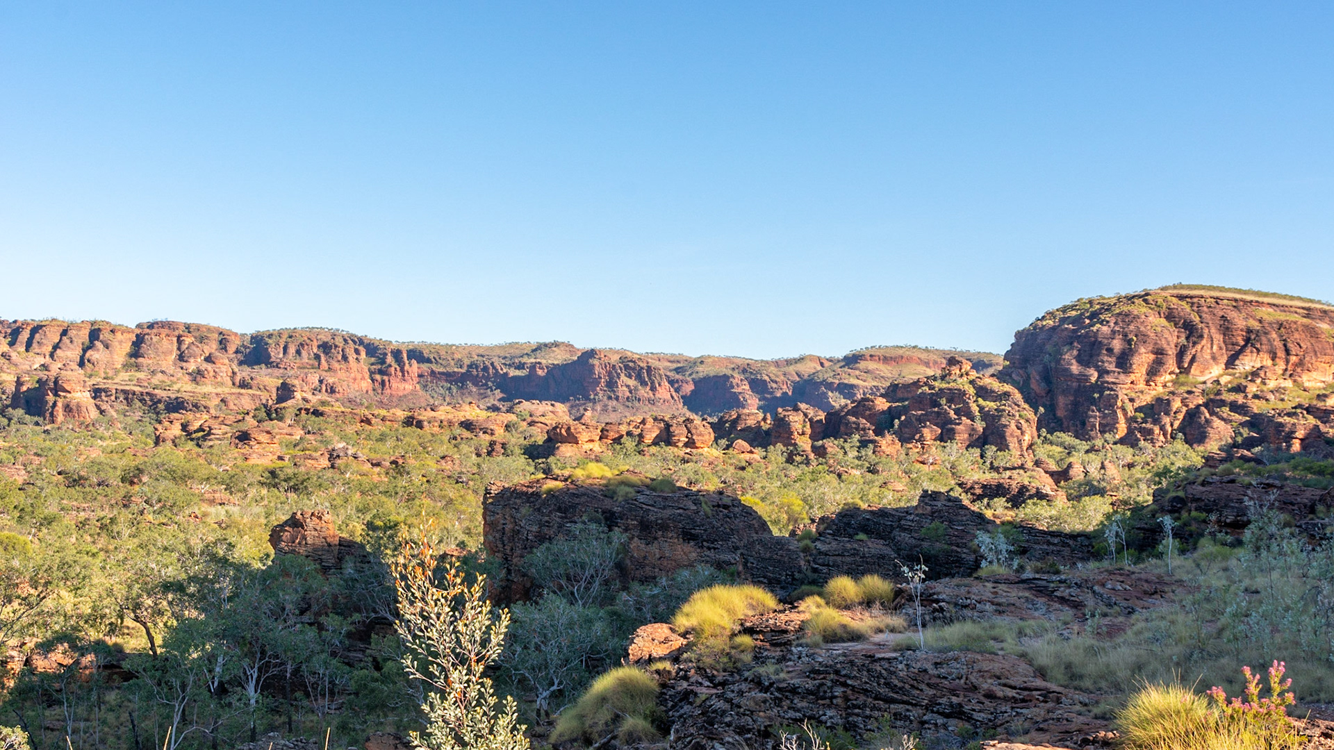
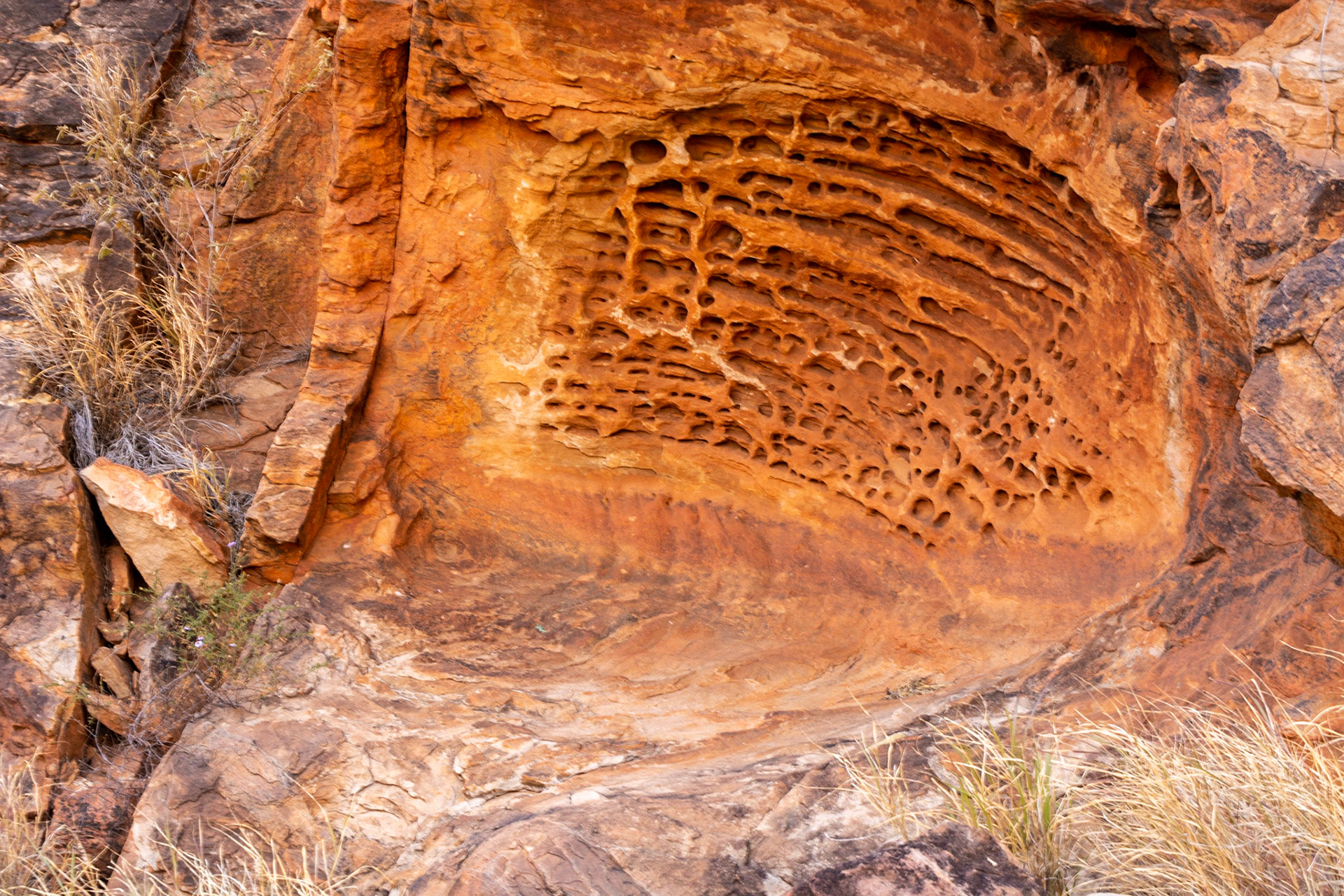
Keep River National Park ........ a mini Bungle-Bungle - a similar geological structure as Purnululu

Keep River ........ Dramatic weathered faces and beehive shaped domes
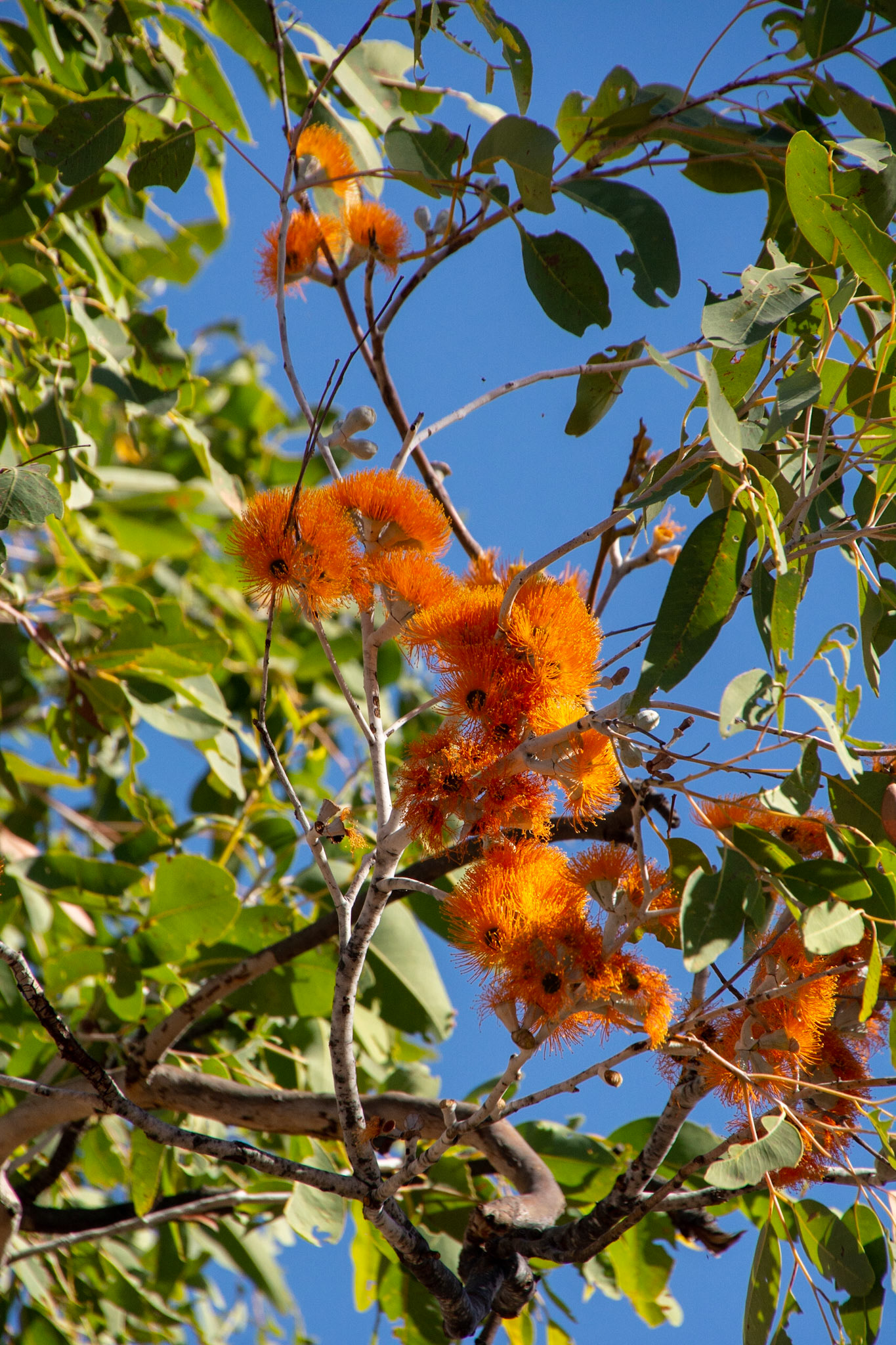
Keep River .......... Scarlet-flowered Yellowjacket (Eucalyptus phoenicea),

Keep River ........... "Yogi Bear" rock
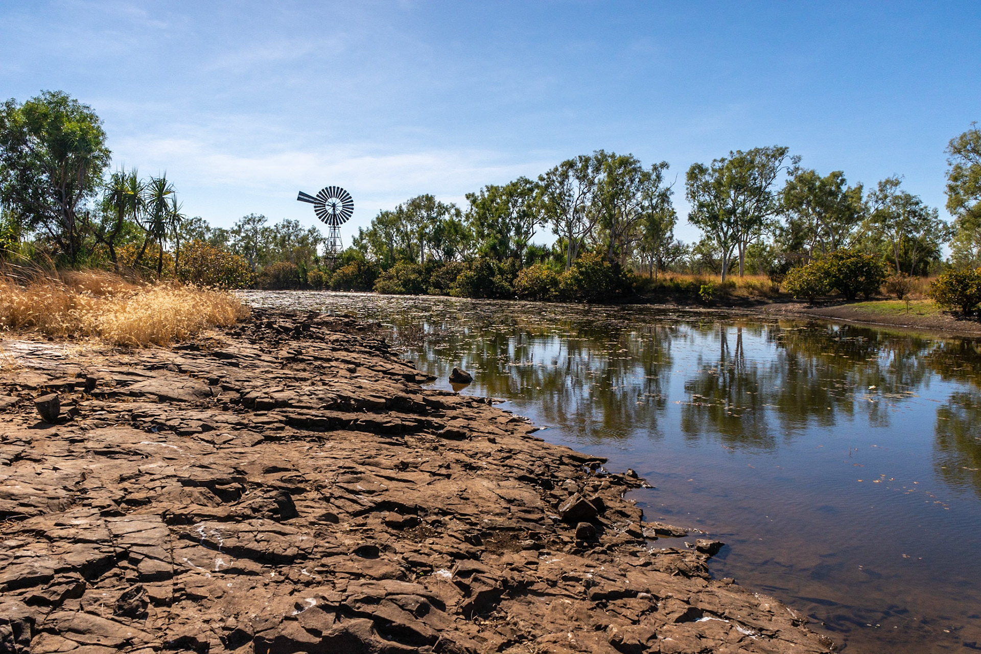
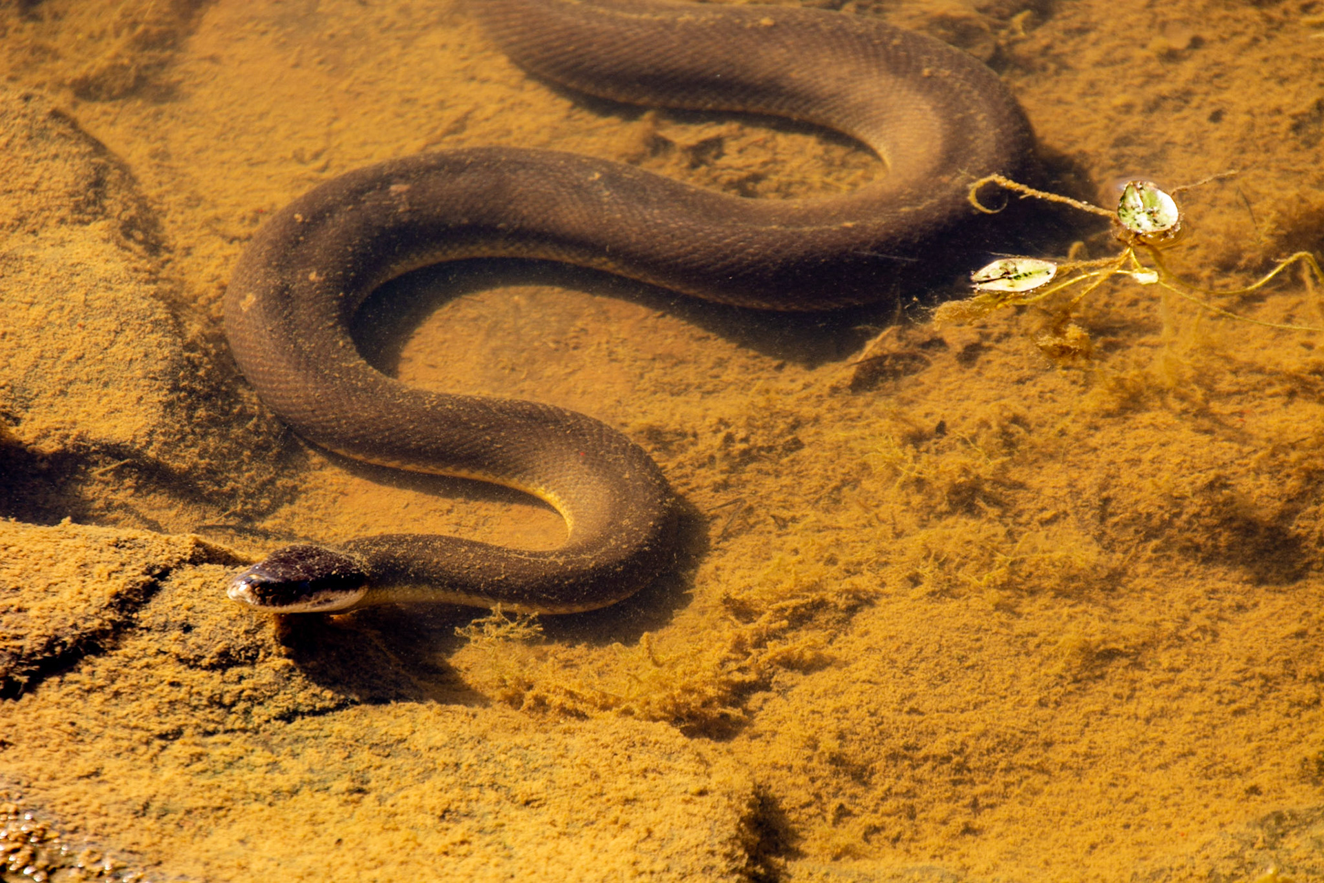
Keep River ......... Cockatoo Lagoon looking north....in the foreground bottom right you might see a water python on the edge